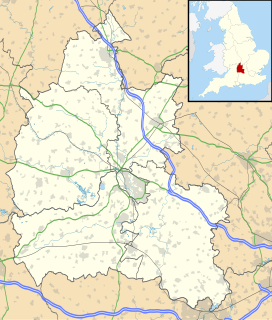
Bagley Wood
| Bagley Wood | |
|---|---|
 | |
| Map | |
| Geography | |
| Location | Oxfordshire, England |
| OS grid | SP510024 |
| Coordinates | 51°43′05″N 1°15′40″W / 51.7180°N 1.2611°W |
| Administration | |
| Governing body | St John's College, Oxford |
Bagley Wood is a wood in the parish of
Abingdon in Oxfordshire, England (in Berkshire until 1974). It is traversed from north to south by the A34 road
, which was rerouted through the wood in 1972.
History
Bagley Wood is an ancient wood. Except for a few years in the 16th century it has had only two owners since 955. From 955 to 1538 it was owned by
Hormer. In 1858 it was made a civil parish, although its population in the 1861 census was only 10.[3] In 1900 the civil parish became part of the parish of Radley, and in 1936 it was transferred to Kennington when that parish was formed.[4]
The wood is open to permissive public access on maintained (‘Stone’ or ‘mown’) routes, via gated entrances.[5]
References in popular culture
- Bagley Wood is the subject of a poem by the Victorian poet Lionel Pigot Johnson.[6]
- Bagley Wood features as a fictional murder scene in the 2012 pilot episode of the ITV detective series Endeavour.
References
- ^ William Page and P.H. Ditchfield (eds) (1924). "Parishes: Bagley Wood". A History of the County of Berkshire: Volume 4. Institute of Historical Research. Retrieved 10 July 2011.
{{cite web}}:|author=has generic name (help) - ^ St John's College, Oxford: Biological Sciences
- ^ Vision of Britain, population statistics
- ^ Vision of Britain: Radley
- ^ Visit us | St John’s College
- ^ Poem-hunter website

