Banteay Samré
| Banteay Samré | |
|---|---|
ប្រាសាទបន្ទាយសំរែ | |
Siem Reap | |
| Location | |
| Location | Angkor |
| Country | Cambodia |
| Geographic coordinates | 13°26′32″N 103°57′33″E / 13.44222°N 103.95917°E |
| Architecture | |
| Type | Khmer (Angkor Wat style) |
| Creator | Suryavarman II, continued by Yasovarman II |
| Completed | First half of the 12th century |
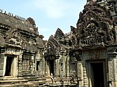
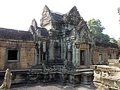
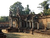
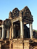
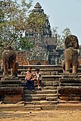
Banteay Samré (Khmer: បន្ទាយសំរែ [ɓɑntiəj sɑmrae]; "The Citadel of the Samré") is a temple at Angkor, Cambodia, located 400 metres to the east of the East Baray.[1] Built during the reign of Suryavarman II[2]: 119 and Yasovarman II in the early 12th century, it is a Hindu temple in the Angkor Wat style.
Named after the
Samré, an ancient people of Indochina, the temple uses the same materials as the Banteay Srei
.
Banteay Samré was excellently restored by
Phimai
. While there are no inscriptions describing its foundation, it seems likely to have been built by a high official of the court during the reign of King Suryavarman II.
Plan
It has a single tower over the shrine and this is connected by an
gopuras at the cardinal points.[4]
Gallery
Notes
External links
Wikimedia Commons has media related to Banteay Samré.
References
- Jessup, Helen Ibbitson; Brukoff, Barry (2011). Temples of Cambodia - The Heart of Angkor (Hardback). Bangkok: River Books. ISBN 978-616-7339-10-8.
- Higham, Charles (2003). The Civilization of Angkor (Paperback). London: Weidenfeld & Nicolson. ISBN 978-1842125847.


