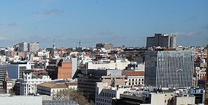
Castellana (Madrid)
Castellana | |
|---|---|
Neighborhood of Madrid | |
 | |
 | |
| Country | Spain |
| Autonomous community | Madrid |
| Municipality | Madrid |
| District | Salamanca |
| Area | |
| • Total | 0.77323 km2 (0.29855 sq mi) |
Castellana is a neighborhood (barrio) of Madrid belonging to the district of Salamanca. It is 0.77323 km2 in size.[1]
References
- Ayuntamiento de Madrid.
40°26′0″N 3°41′05″W / 40.43333°N 3.68472°W
