
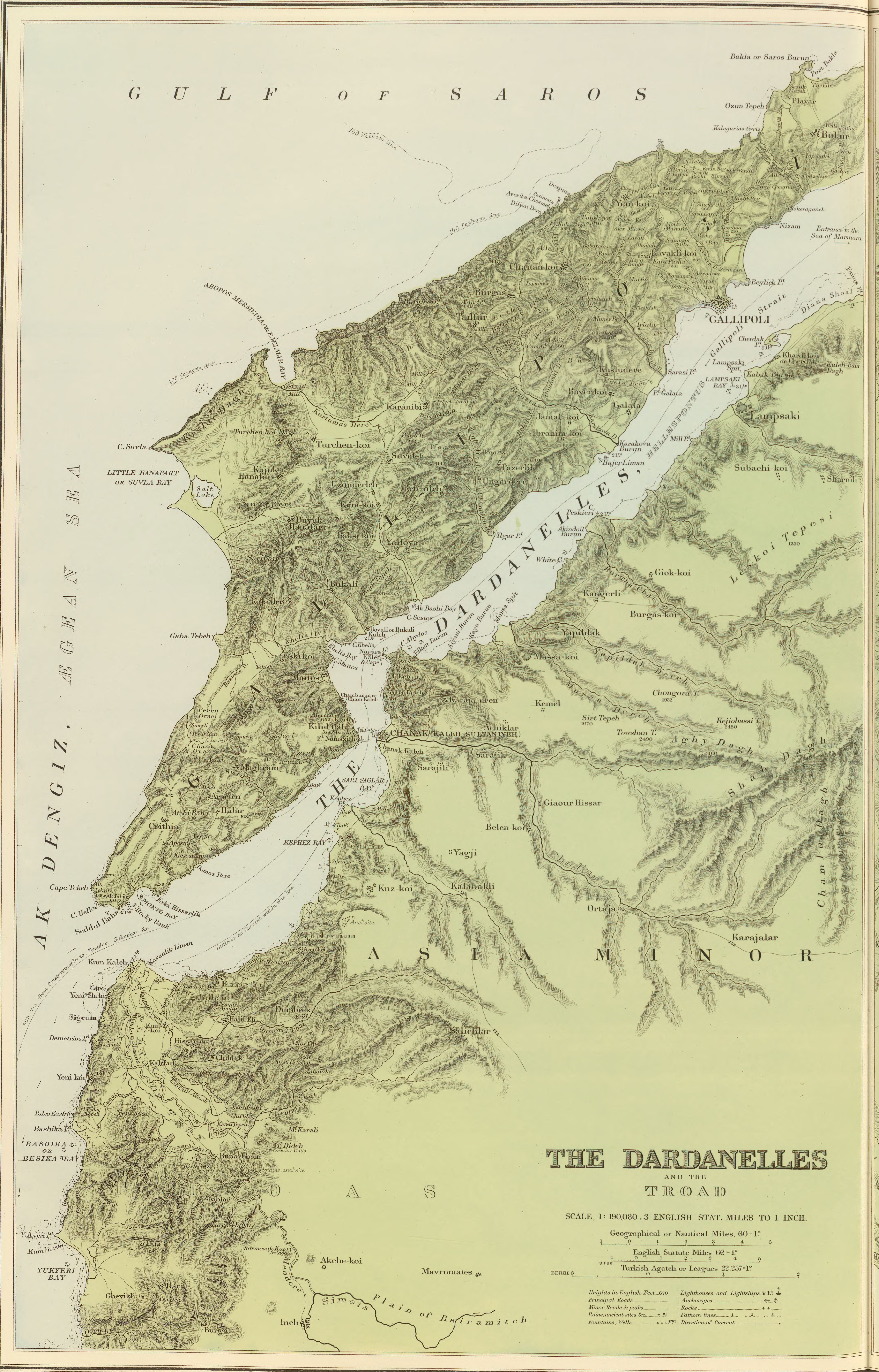
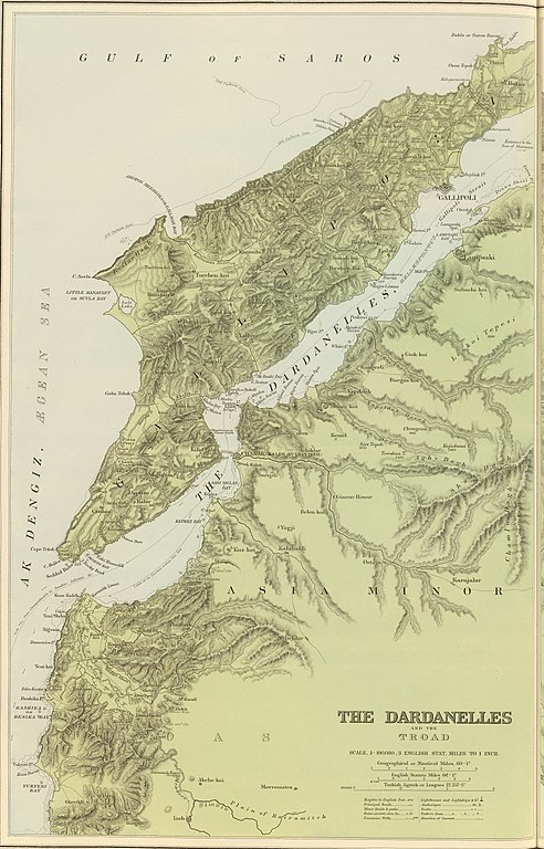
File:1901 map of The Dardanelles and the Troad (cropped).jpg
Size of this preview: 384 × 600 pixels. Other resolutions: 153 × 240 pixels | 307 × 480 pixels | 492 × 768 pixels | 655 × 1,024 pixels | 1,311 × 2,048 pixels | 4,277 × 6,680 pixels.
Original file (4,277 × 6,680 pixels, file size: 4.51 MB, MIME type: image/jpeg)
| This is a file from the Wikimedia Commons. Information from its description page there is shown below. Commons is a freely licensed media file repository. You can help. |
Summary
| Description |
English: 1901 maps of The Dardanelles and the Troad and The Bosphorus and Constantinople |
| Date | |
| Source | https://searchworks.stanford.edu/view/qw129tv7494 |
| Author |
Edward Stanford Ltd. Stanford, Edward |
| Other versions |

.jpg)
Licensing
|
This work is in the public domain in its country of origin and other countries and areas where the copyright term is the author's life plus 70 years or fewer. This work is in the public domain in the United States because it was published (or registered with the U.S. Copyright Office) before January 1, 1929. | |
| This file has been identified as being free of known restrictions under copyright law, including all related and neighboring rights. | |
File history
Click on a date/time to view the file as it appeared at that time.
| Date/Time | Thumbnail | Dimensions | User | Comment | |
|---|---|---|---|---|---|
| current | 16:27, 27 June 2020 | | 4,277 × 6,680 (4.51 MB) | Balkanique | File:1901 maps of The Dardanelles and the Troad and The Bosphorus and Constantinople.jpg cropped 66 % horizontally, 20 % vertically using CropTool with lossless mode. |
File usage
The following pages on the English Wikipedia use this file (pages on other projects are not listed):
.jpg)