
File:Arandis Mine hochformat.jpg
Size of this preview: 400 × 600 pixels. Other resolutions: 160 × 240 pixels | 320 × 480 pixels | 512 × 768 pixels | 682 × 1,024 pixels | 1,365 × 2,048 pixels | 2,592 × 3,888 pixels.
Original file (2,592 × 3,888 pixels, file size: 5.64 MB, MIME type: image/jpeg)
| This is a file from the Wikimedia Commons. Information from its description page there is shown below. Commons is a freely licensed media file repository. You can help. |
Summary
| Description |
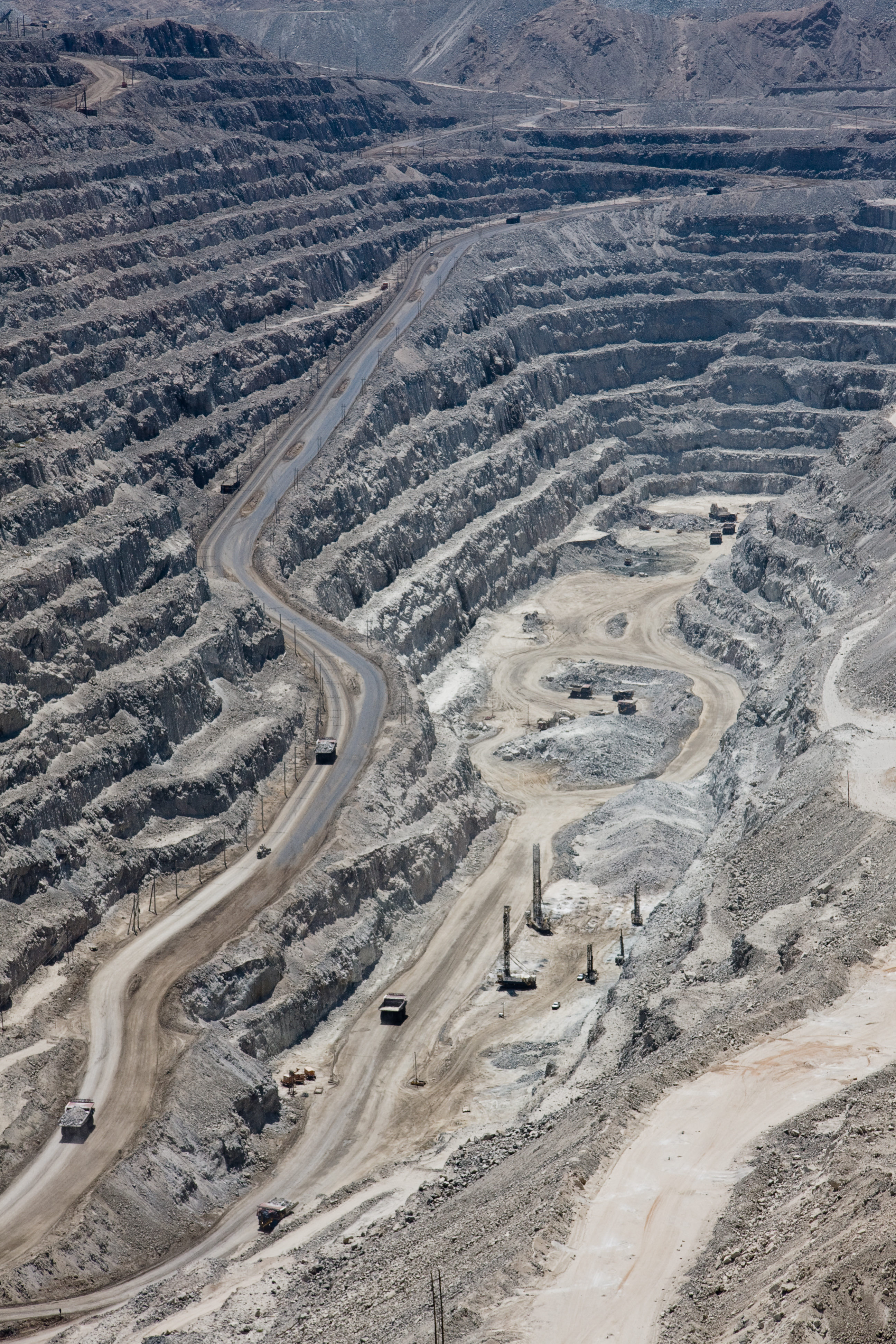
Deutsch: Grubengrund der Rösssing-Mine bei Swakopmund, Namibia |
| Date | |
| Source | Own work |
| Author | Ikiwaner |
| Camera location | | View this and other nearby images on: OpenStreetMap |
|---|
Licensing

|
Permission is granted to copy, distribute and/or modify this document under the terms of the GNU Free Documentation License, Version 1.2 only as published by the Free Software Foundation; with no Invariant Sections, no Front-Cover Texts, and no Back-Cover Texts. A copy of the license is included in the section entitled GNU Free Documentation License. | 1.2 only |
File history
Click on a date/time to view the file as it appeared at that time.
| Date/Time | Thumbnail | Dimensions | User | Comment | |
|---|---|---|---|---|---|
| current | 18:07, 19 October 2009 | | 2,592 × 3,888 (5.64 MB) | Ikiwaner | {{Information |Description={{de|Grubengrund der Rösssing-Mine bei Swakopmund, Namibia}} |Source={{Own}} |Date=siehe Bild-Metadaten |Author=Ikiwaner |Permission=GNU Free Documentation License v1.2 only |other_versions= }} {{GFDL-1.2}} |
File usage
The following pages on the English Wikipedia use this file (pages on other projects are not listed):
Global file usage
The following other wikis use this file:
- Usage on bn.wikipedia.org
- Usage on ca.wikipedia.org
- Usage on de.wikipedia.org
- Usage on es.wikipedia.org
- Usage on fr.wikipedia.org
- Usage on hu.wikipedia.org
- Usage on pt.wikibooks.org
- Usage on ru.wikipedia.org