
File:Beech Tree Farm and the Small Brook - geograph.org.uk - 1102339.jpg
No higher resolution available.
Beech_Tree_Farm_and_the_Small_Brook_-_geograph.org.uk_-_1102339.jpg (640 × 480 pixels, file size: 151 KB, MIME type: image/jpeg)
| This is a file from the Wikimedia Commons. Information from its description page there is shown below. Commons is a freely licensed media file repository. You can help. |
Summary
| Description |
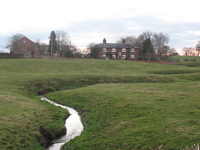
English: Beech Tree Farm and the Small Brook. The farm is shown on the Landranger map as Hole House Farm, but its actual present name of Beech Tree Farm is correctly shown on the Explorer. FOr another nearby naming error on the map, see 1102294. |
| Date | |
| Source | From geograph.org.uk |
| Author | Stephen Craven |
| Attribution (required by the license) | Stephen Craven / Beech Tree Farm and the Small Brook / |
| Camera location | | View this and other nearby images on: OpenStreetMap |
|---|
| Object location | | View this and other nearby images on: OpenStreetMap |
|---|
_heading:270.00&language=en)
Licensing

|
This image was taken from the
Creative Commons Attribution-ShareAlike 2.0 license. |
This file is licensed under the Creative Commons Attribution-Share Alike 2.0 Generic license.
Attribution: Stephen Craven
- You are free:
- to share – to copy, distribute and transmit the work
- to remix – to adapt the work
- Under the following conditions:
- attribution – You must give appropriate credit, provide a link to the license, and indicate if changes were made. You may do so in any reasonable manner, but not in any way that suggests the licensor endorses you or your use.
- share alike – If you remix, transform, or build upon the material, you must distribute your contributions under the same or compatible license as the original.
File history
Click on a date/time to view the file as it appeared at that time.
| Date/Time | Thumbnail | Dimensions | User | Comment | |
|---|---|---|---|---|---|
| current | 17:02, 24 February 2011 | | 640 × 480 (151 KB) | GeographBot | == {{int:filedesc}} == {{Information |description={{en|1=Beech Tree Farm and the Small Brook The farm is shown on the Landranger map as Hole House Farm, but its actual present name of Beech Tree Farm is correctly shown on the Explorer. FOr another nearby |
File usage
The following pages on the English Wikipedia use this file (pages on other projects are not listed):
Global file usage
The following other wikis use this file:
- Usage on ar.wikipedia.org
- Usage on arz.wikipedia.org
- Usage on ceb.wikipedia.org
- Usage on cy.wikipedia.org
- Usage on fr.wikipedia.org
- Usage on it.wikipedia.org
- Usage on lld.wikipedia.org
- Usage on pl.wikipedia.org
- Usage on www.wikidata.org
- Usage on zh-min-nan.wikipedia.org