
File:ET Bahir Dar asv2018-02 img14 Tis Issat.jpg
Size of this preview: 800 × 533 pixels. Other resolutions: 320 × 213 pixels | 640 × 427 pixels | 1,024 × 683 pixels | 1,280 × 853 pixels | 2,560 × 1,707 pixels | 6,218 × 4,146 pixels.
Original file (6,218 × 4,146 pixels, file size: 12.32 MB, MIME type: image/jpeg)
| This is a file from the Wikimedia Commons. Information from its description page there is shown below. Commons is a freely licensed media file repository. You can help. |
Summary
| Description |
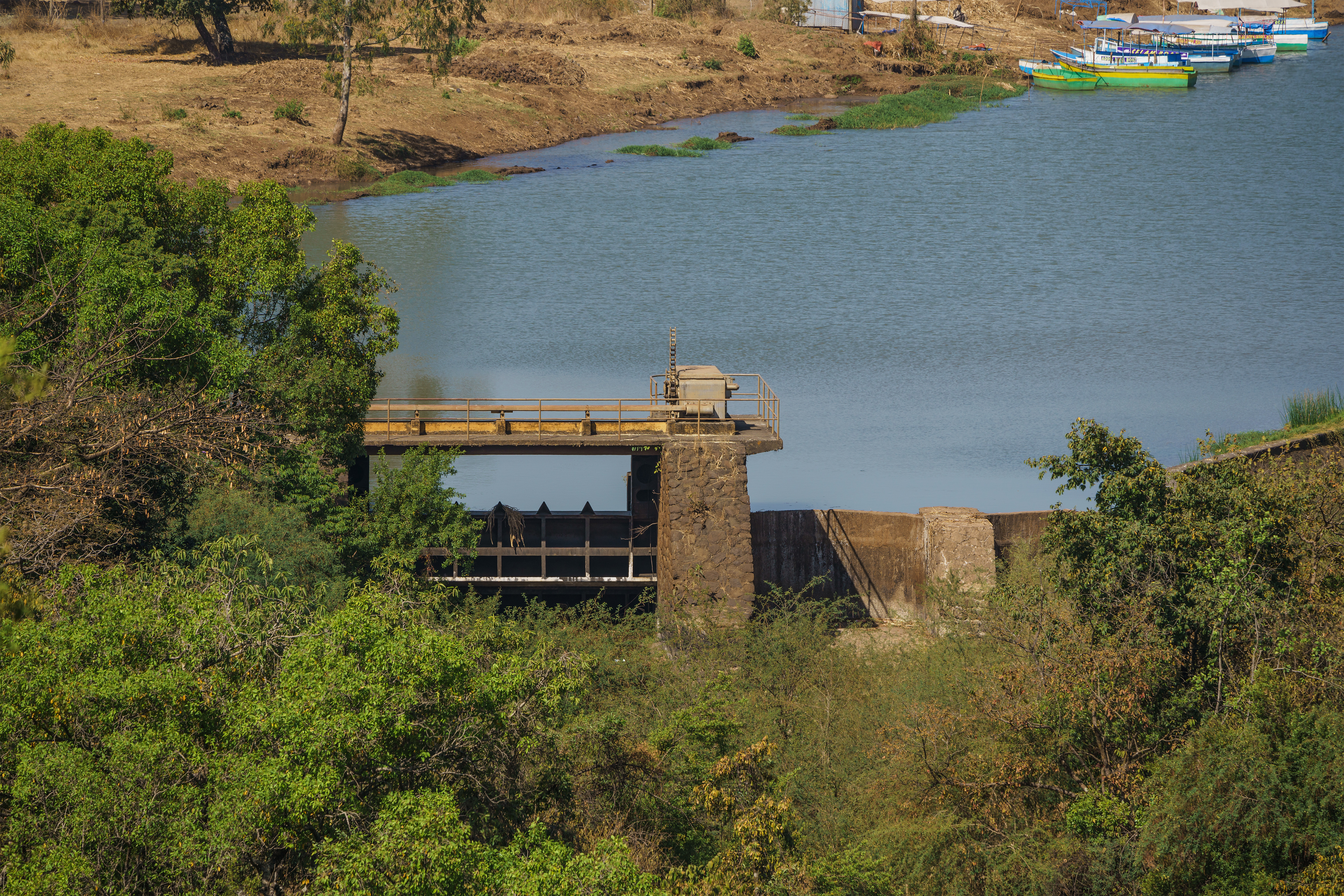
English: Blue Nile canal and dam at Tis Issat near Bahir Dar, Ethiopia
Русский: Канал Голубого Нила и плотина около водопадов Тис-Ысат близ Бахр-Дара, Эфиопия |
| Date | |
| Source | Own work |
| Author | A.Savin |
| Permission (Reusing this file) |
.svg) Just attribute the author: «A.Savin, Wikipedia»; if you have questions — Telegram, or e-mail to [email protected]..svg) Просто укажите в качестве автора: «А.Савин, Википедия»; если есть вопрос — телеграм, или эл.почта на [email protected]. Kennzeichnen Sie einfach als Autor: «A.Savin, Wikipedia»; falls Sie Fragen haben — Telegram, oder E-Mail an [email protected].
Thank you. |
| Camera location | | View this and other nearby images on: OpenStreetMap |
|---|
Licensing
| Copyleft: This work of art is free; you can redistribute it and/or modify it according to terms of the Free Art License. You will find a specimen of this license on the Copyleft Attitude site as well as on other sites. |
File history
Click on a date/time to view the file as it appeared at that time.
| Date/Time | Thumbnail | Dimensions | User | Comment | |
|---|---|---|---|---|---|
| current | 00:03, 30 June 2018 | | 6,218 × 4,146 (12.32 MB) | A.Savin | {{User:A.Savin/F |Description= {{en|Blue Nile canal and dam at Tis Issat near Bahir Dar, Ethiopia}} {{ru|Канал Голубого Нила и плотина около водопадов Тис-Ысат близ Бахр-Дара, Эфиопия}} |Year=2018 |Country=Ethiopia |Month=02 |Day=05}} {{Location|11|29|15.2|N|37|35|24|E|region:ET-AM}} Category:Taken with Sony ILCE-7RM3 Category:Taken with Sony FE 100-400mm F4.5-5.6 GM OSS Category:2018 in Ethiopia Category:Tis Abay canal and power plants |
File usage
The following pages on the English Wikipedia use this file (pages on other projects are not listed):
Global file usage
The following other wikis use this file:
- Usage on ar.wikipedia.org
- Usage on de.wikipedia.org
- Usage on fr.wikipedia.org
- Usage on www.wikidata.org