
File:EU-EE-Tallinn-LAS-Mustakivi and Laagna.jpg
Size of this preview: 800 × 533 pixels. Other resolutions: 320 × 213 pixels | 640 × 427 pixels | 1,024 × 683 pixels | 1,200 × 800 pixels.
Original file (1,200 × 800 pixels, file size: 370 KB, MIME type: image/jpeg)
| This is a file from the Wikimedia Commons. Information from its description page there is shown below. Commons is a freely licensed media file repository. You can help. |
Summary
| Description |
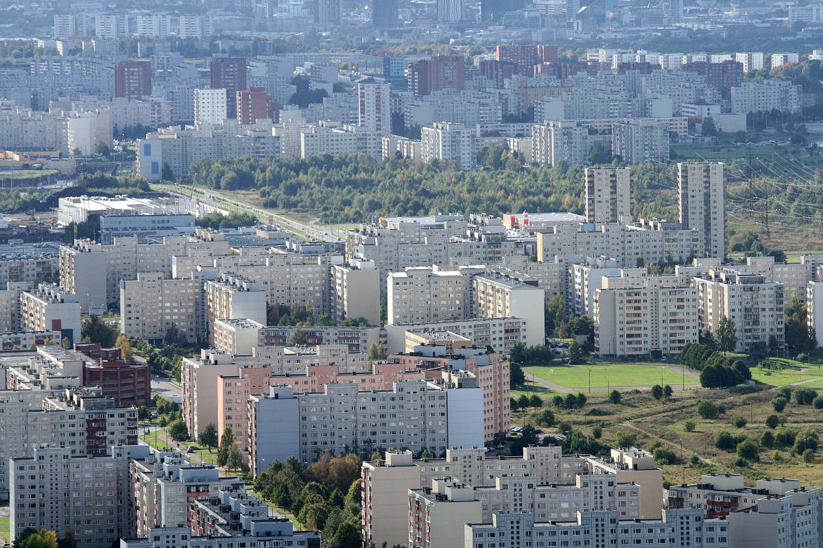
English: Mustakivi and Laagna sudistricts from altitude 260 meters
Русский: Ласнамяэ с высоты 260 метров |
| Date | |
| Source | [1] linked from http://forum.ee/t57572/moi-snimki/page__view__findpost__p__2630463 |
| Author | Digger |
| Permission (Reusing this file) |
This file is licensed under the Creative Commons Attribution-Share Alike 3.0 Unported license.
|
| Camera location | | View this and other nearby images on: OpenStreetMap |
|---|
It is disputed whether the copyright tag on this file is correct. In some cases this may be because the stated source or other information is not sufficient to prove the selected tag is correct. Please see the file's talk page or the edit summary of the edit which added this tag for further information.
With the tool CheckUsage you can check the usage of this file in other Wikimedia projects
Do not use this tag for files sourced to third-parties with no evidence of permission to license it under a compatible license, use {{subst:Npd }} for these situations. |
File history
Click on a date/time to view the file as it appeared at that time.
| Date/Time | Thumbnail | Dimensions | User | Comment | |
|---|---|---|---|---|---|
| current | 16:20, 14 February 2010 | | 1,200 × 800 (370 KB) | Dmitry G | {{Information |Description={{en|1=Mustakivi and Laagna sudistricts from altitude 260 meters}} {{ru|1=Ласнамяэ с высоты 260 метров}} |Source=http://forum.ee/t57572/moi-snimki/page__view__findpost__p__2630463 |Author=[http://forum.ee/u1 |
File usage
The following pages on the English Wikipedia use this file (pages on other projects are not listed):
Global file usage
The following other wikis use this file:
- Usage on ca.wikipedia.org
- Usage on de.wikipedia.org
- Usage on es.wikipedia.org
- Usage on et.wikipedia.org
- Usage on fa.wikipedia.org
- Usage on fi.wikipedia.org
- Usage on fr.wikipedia.org
- Usage on lv.wikipedia.org
- Usage on nl.wikipedia.org
- Usage on pl.wikipedia.org
- Usage on ru.wikipedia.org
- Usage on sv.wikipedia.org
- Usage on ur.wikipedia.org
- Usage on vi.wikipedia.org
- Usage on www.wikidata.org