
File:Europe map svalbard.png

Size of this preview: 795 × 600 pixels. Other resolutions: 318 × 240 pixels | 636 × 480 pixels | 1,018 × 768 pixels | 1,231 × 929 pixels.
Original file (1,231 × 929 pixels, file size: 41 KB, MIME type: image/png)
Summary
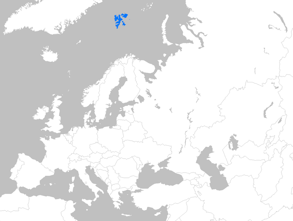
Location map of Svalbard within Europe
Licensing
| I, the copyright holder of this work, hereby release it into the public domain. This applies worldwide. If this is not legally possible: |
 | This file is a candidate to be copied to Wikimedia Commons.
Any user may perform this transfer; refer to Wikipedia:Moving files to Commons for details. If this file has problems with attribution, copyright, or is otherwise ineligible for Commons, then remove this tag and DO NOT transfer it; repeat violators may be blocked from editing. Other Instructions
| ||
| |||
File history
Click on a date/time to view the file as it appeared at that time.
| Date/Time | Thumbnail | Dimensions | User | Comment | |
|---|---|---|---|---|---|
| current | 17:54, 16 April 2007 | | 1,231 × 929 (41 KB) | Theeuro (talk | contribs) | Location map of Svalbard within europe |
| 17:26, 11 April 2007 |  | 1,231 × 929 (41 KB) | Theeuro (talk | contribs) | Location map of Svalbard within europe |
You cannot overwrite this file.
File usage
The following pages on the English Wikipedia use this file (pages on other projects are not listed):