
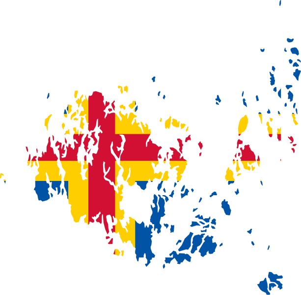
File:Flag map of Aland.svg

Size of this PNG preview of this SVG file: 613 × 600 pixels. Other resolutions: 245 × 240 pixels | 491 × 480 pixels | 785 × 768 pixels | 1,047 × 1,024 pixels | 2,094 × 2,048 pixels | 818 × 800 pixels.
Original file (SVG file, nominally 818 × 800 pixels, file size: 48 KB)
| This is a file from the Wikimedia Commons. Information from its description page there is shown below. Commons is a freely licensed media file repository. You can help. |
Summary
| Description | Flag map of Aland |
| Date | (UTC) |
| Source | |
| Author |
|
| SVG development |
Licensing
This file is licensed under the Creative Commons Attribution-Share Alike 3.0 Unported license.
- You are free:
- to share – to copy, distribute and transmit the work
- to remix – to adapt the work
- Under the following conditions:
- attribution – You must give appropriate credit, provide a link to the license, and indicate if changes were made. You may do so in any reasonable manner, but not in any way that suggests the licensor endorses you or your use.
- share alike – If you remix, transform, or build upon the material, you must distribute your contributions under the same or compatible license as the original.
Uploaded with derivativeFX
File history
Click on a date/time to view the file as it appeared at that time.
| Date/Time | Thumbnail | Dimensions | User | Comment | |
|---|---|---|---|---|---|
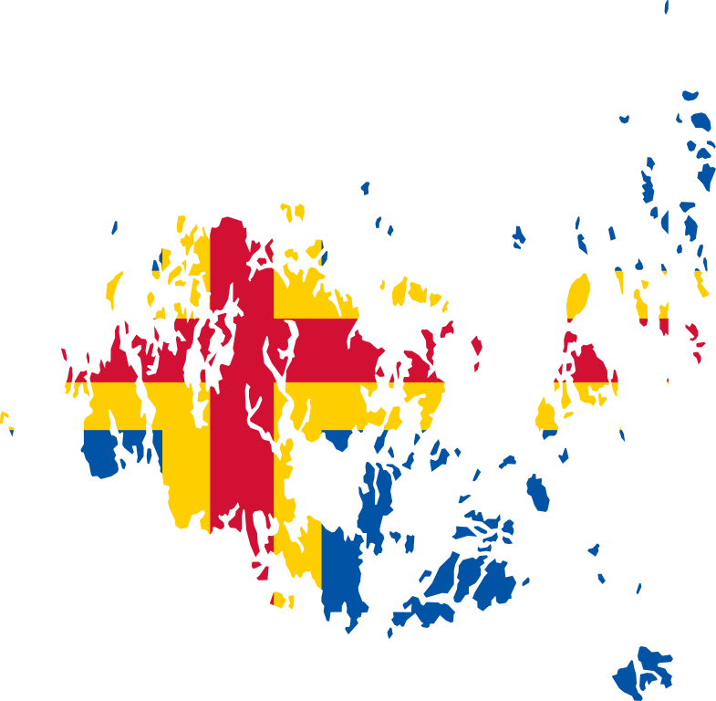
| current | 11:42, 23 March 2018 | | 818 × 800 (48 KB) | Stasyan117 | better map |
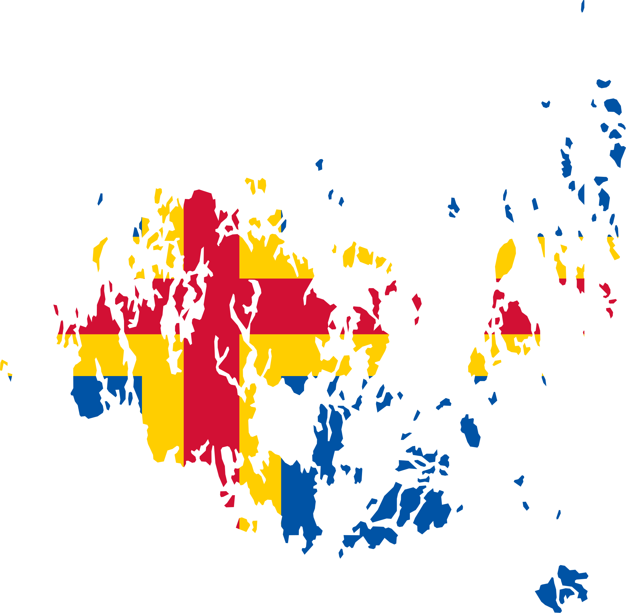
| 21:33, 16 February 2018 |  | 955 × 800 (59 KB) | Stasyan117 | correct map | |
| 01:54, 20 June 2011 |  | 542 × 436 (79 KB) | Fry1989 | {{Information |Description=Flag map of Aland |Source=*File:Flag_of_Austria.svg *File:Aland_EU.svg |Date=2011-06-20 01:42 (UTC) |Author=*File:Flag of Åland.svg: *File:Aland_EU.svg: *[[:File:Topographic_map_of_Åland.svg|Topographic |
File usage
The following pages on the English Wikipedia use this file (pages on other projects are not listed):
Global file usage
The following other wikis use this file:
- Usage on fr.wikipedia.org
- Usage on sv.wikipedia.org
- Usage on www.wikidata.org