
File:Flag map of India actual control.png

Size of this preview: 538 × 600 pixels. Other resolutions: 215 × 240 pixels | 430 × 480 pixels | 689 × 768 pixels | 918 × 1,024 pixels | 1,836 × 2,048 pixels | 3,020 × 3,368 pixels.
Original file (3,020 × 3,368 pixels, file size: 273 KB, MIME type: image/png)
| This is a file from the Wikimedia Commons. Information from its description page there is shown below. Commons is a freely licensed media file repository. You can help. |
Summary
| Description |
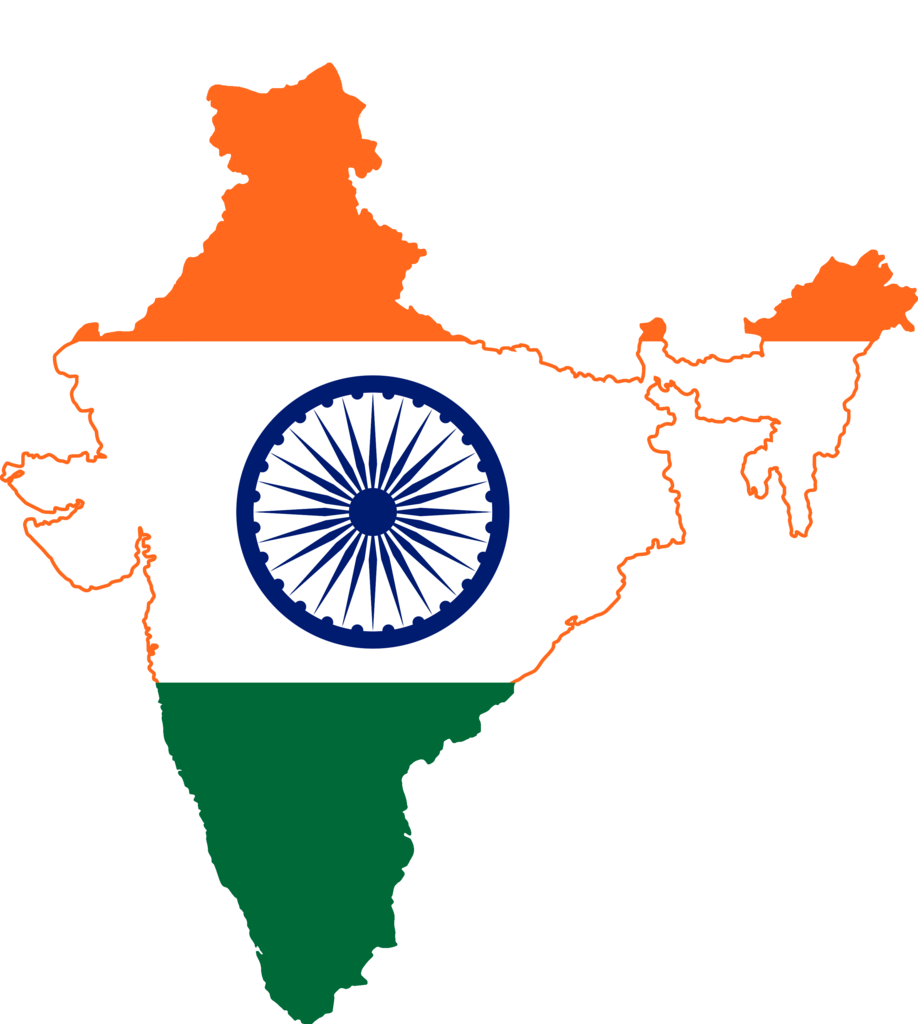
English: map of India, actual controlled territories |
| Date | |
| Source |
Derived from File:India geo stub.svg  |
| Author | User:Jak, recreated by User:Stannered from images by User:Zscout370 and User:PlaneMad |
Licensing
This file is licensed under the Creative Commons Attribution-Share Alike 3.0 Unported license.
- You are free:
- to share – to copy, distribute and transmit the work
- to remix – to adapt the work
- Under the following conditions:
- attribution – You must give appropriate credit, provide a link to the license, and indicate if changes were made. You may do so in any reasonable manner, but not in any way that suggests the licensor endorses you or your use.
- share alike – If you remix, transform, or build upon the material, you must distribute your contributions under the same or compatible license as the original.
File history
Click on a date/time to view the file as it appeared at that time.
| Date/Time | Thumbnail | Dimensions | User | Comment | |
|---|---|---|---|---|---|
| current | 09:55, 21 May 2022 | | 3,020 × 3,368 (273 KB) | Vikassinghhhh | Color |
| 01:34, 3 April 2019 |  | 3,020 × 3,368 (354 KB) | Alvin Lee | User created page with UploadWizard |
File usage
The following pages on the English Wikipedia use this file (pages on other projects are not listed):
Global file usage
The following other wikis use this file:
- Usage on ar.wikiquote.org
- Usage on vi.wikipedia.org