
File:Guatemala town volcanic crater.jpg
Size of this preview: 800 × 352 pixels. Other resolutions: 320 × 141 pixels | 640 × 282 pixels | 1,024 × 451 pixels | 1,280 × 564 pixels | 4,288 × 1,888 pixels.
Original file (4,288 × 1,888 pixels, file size: 2.49 MB, MIME type: image/jpeg)
| This is a file from the Wikimedia Commons. Information from its description page there is shown below. Commons is a freely licensed media file repository. You can help. |
Summary
| Description |
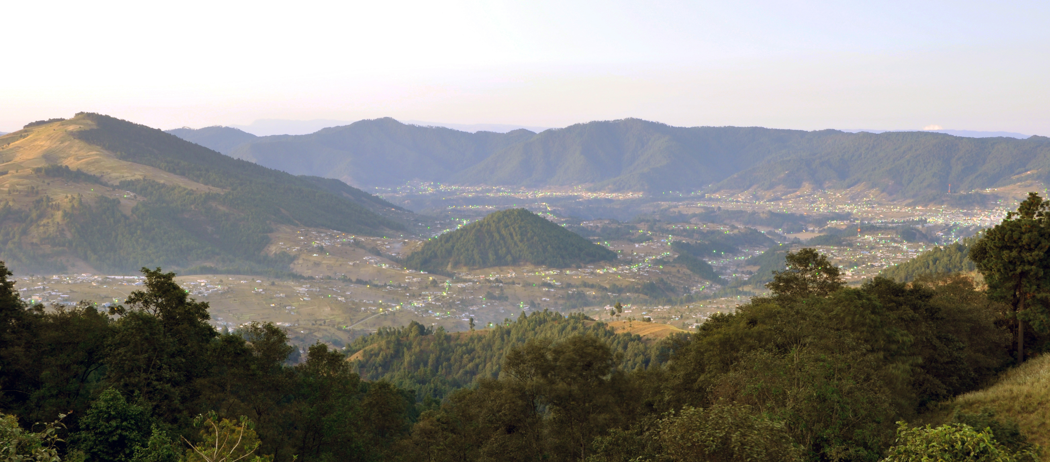
English: The town of Totonicapan, in the Department of Totonicapan, along the Pan American Highway. Français : Ville du Guatémala située à côté d'un cratère volcanique, vue de l'autoroute panaméricaine |
| Source | Own work |
| Author | chensiyuan |
Licensing
I, the copyright holder of this work, hereby publish it under the following licenses:

|
Permission is granted to copy, distribute and/or modify this document under the terms of the GNU Free Documentation License, Version 1.2 or any later version published by the Free Software Foundation; with no Invariant Sections, no Front-Cover Texts, and no Back-Cover Texts. A copy of the license is included in the section entitled GNU Free Documentation License. |
This file is licensed under the Creative Commons Attribution-Share Alike 4.0 International, 3.0 Unported, 2.5 Generic, 2.0 Generic and 1.0 Generic license.
- You are free:
- to share – to copy, distribute and transmit the work
- to remix – to adapt the work
- Under the following conditions:
- attribution – You must give appropriate credit, provide a link to the license, and indicate if changes were made. You may do so in any reasonable manner, but not in any way that suggests the licensor endorses you or your use.
- share alike – If you remix, transform, or build upon the material, you must distribute your contributions under the same or compatible license as the original.
You may select the license of your choice.
File history
Click on a date/time to view the file as it appeared at that time.
| Date/Time | Thumbnail | Dimensions | User | Comment | |
|---|---|---|---|---|---|
| current | 01:18, 10 November 2010 | | 4,288 × 1,888 (2.49 MB) | Jeangagnon | photoshop |
| 21:04, 18 January 2010 |  | 4,288 × 1,888 (2.48 MB) | Chensiyuan | {{Information |Description={{en|1=town near Volcanic crater Guatemala Pan American Highway}} |Source=chensiyuan |Author=chensiyuan |Date= |Permission= |other_versions= }} |
File usage
The following pages on the English Wikipedia use this file (pages on other projects are not listed):
Global file usage
The following other wikis use this file:
- Usage on ar.wikipedia.org
- Usage on hu.wikipedia.org
- Usage on mad.wikipedia.org
- Usage on ta.wikipedia.org
- Usage on te.wikipedia.org