
File:Italy Tuscany location map.svg

Original file (SVG file, nominally 719 × 822 pixels, file size: 74 KB)
| This is a file from the Wikimedia Commons. Information from its description page there is shown below. Commons is a freely licensed media file repository. You can help. |
Summary
| Description |
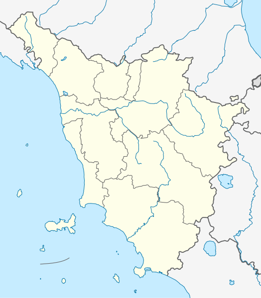
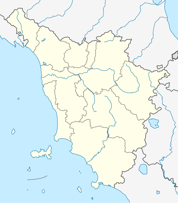
Quadratische Plattkarte, N-S-Streckung 138 %. Geographische Begrenzung der Karte:
Equirectangular projection, N/S stretching 138 %. Geographic limits of the map:
|
|
| Date | ||
| Source |
Own work, using
|
|
| Author | NordNordWest | |
| Permission (Reusing this file) |
This file is licensed under the Creative Commons Attribution-Share Alike 3.0 Germany license.
 This file is licensed under the Creative Commons Attribution-Share Alike 3.0 Unported license.
|
|
| Other versions |
|


|
This map has been made or improved in the German Kartenwerkstatt (Map Lab). You can propose maps to improve as well.
|
File history
Click on a date/time to view the file as it appeared at that time.
| Date/Time | Thumbnail | Dimensions | User | Comment | |
|---|---|---|---|---|---|
| current | 08:24, 13 September 2011 | | 719 × 822 (74 KB) | NordNordWest | c |
| 18:21, 12 September 2011 |  | 719 × 822 (74 KB) | NordNordWest | =={{int:filedesc}}== {{Information |Description= {{de|Positionskarte der Toskana, Italien}} Quadratische Plattkarte, N-S-Streckung 138 %. Geographische Begrenzung der Karte: * N: 44.6° N * S: 42.2° N * W: 9.6° O * O: 12. |
File usage
More than 100 pages use this file. The following list shows the first 100 pages that use this file only. A full list is available.
- Altopascio
- Anghiari
- Arezzo
- Asciano
- Bagni di Lucca
- Barga, Tuscany
- Battle of Arretium
- Bibbiena
- Borgo a Mozzano
- Camaiore
- Capannori
- Capolona
- Capraia
- Caprese Michelangelo
- Careggine
- Carrara
- Castel Focognano
- Castelnuovo di Garfagnana
- Castiglion Fiorentino
- Castiglione della Pescaia
- Castiglione di Garfagnana
- Certaldo
- Cetona
- Chiusi
- Civitella in Val di Chiana
- Colle di Val d'Elsa
- Comano, Tuscany
- Cortona
- Cosa
- Crete Senesi
- Empoli
- Fiesole
- Firenze Santa Maria Novella railway station
- Fivizzano
- Florence
- Florence Airport
- Foiano della Chiana
- Follonica
- Forte dei Marmi
- Fucecchio
- Garfagnana
- Giannutri
- Gorgona (Italy)
- Greve in Chianti
- Grosseto
- Isola del Giglio
- Livorno
- Lucca
- Manciano
- Marciana
- Marciana Marina
- Massa, Tuscany
- Massa Marittima
- Massarosa
- Meloria
- Monsummano Terme
- Montalcino
- Monte San Savino
- Montecatini Terme
- Montecatini Val di Cecina
- Montecristo
- Montepulciano
- Monteriggioni
- Montevarchi
- Monticiano
- Orbetello
- Pescia
- Pianosa
- Pienza
- Pietrasanta
- Piombino
- Pisa
- Pisa International Airport
- Pistoia
- Pitigliano
- Poggibonsi
- Poggio a Caiano
- Pontedera
- Pontremoli
- Portoferraio
- Prato
- Pratovecchio Stia
- Rusellae
- Sambuca Pistoiese
- San Gimignano
- San Giovanni Valdarno
- San Miniato
- Sansepolcro
- Santa Croce sull'Arno
- Scansano
- Seravezza
- Sesto Fiorentino
- Settefinestre
- Sinalunga
- Sorano
- Subbiano
- Talla, Arezzo
- Viareggio
- Vinci, Tuscany
- Volterra
View more links to this file.
Global file usage
The following other wikis use this file:
- Usage on als.wikipedia.org
- Usage on ar.wikipedia.org
- Usage on azb.wikipedia.org
- لیورنو
- پیزا
- پیستویا
- ویلا کولماندینا
- ویلا بازیلیکا
- ویکیو
- ویکوپیسانو
- ترانوووا براچیولینی
- تاوارنله وال دی پسا
- ولترا
- وکیانو
- تالا
- پیوه فوسچیانا
- پیوه سانتو استفانو
- ورنیو
- پیوه ا نیووله
- کیتینیانو
- کیانی (کومونه)
- پینتزا
- پیتیلیانو
- وایلیا
- وایانو
- والی سوتو
- پیتراسانتا
- کومانو، توسکانی
- کوله دی وال دالسا
- پیانکاستانیایو
- کولسالوتی
- کازوله دالسا
- کازولا این لونیجانو
- پونساچو
- کازاله ماریتیمو
- پونته بوجانزه
- پونترمولی
- پونتدرا
- پونتاسیوه
- کارمینیانو
- پومارانچه
- کارجینه
- کورلیا آنتلمینلی
- پورکاری
- کورتونا
- پورتوفرایو
- کارارا
- پورتو آتسورو
- پودنتسانا
- کاپولیوری
View more global usage of this file.