
File:Location of lynching in 1922 on a Map of Texas with year.png

Size of this preview: 631 × 600 pixels. Other resolutions: 253 × 240 pixels | 505 × 480 pixels | 808 × 768 pixels | 1,078 × 1,024 pixels | 2,155 × 2,048 pixels.
Original file (2,155 × 2,048 pixels, file size: 523 KB, MIME type: image/png)
| This is a file from the Wikimedia Commons. Information from its description page there is shown below. Commons is a freely licensed media file repository. You can help. |
Summary
| Description |
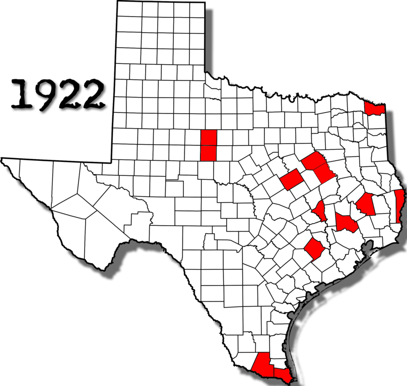
English: Map of Texas with the location of lynchings in the year 1922 |
| Date | |
| Source | |
| Author | |
| Permission (Reusing this file) |
I, the copyright holder of this work, hereby publish it under the following license: This file is licensed under the Creative Commons Attribution-Share Alike 4.0 International license.
|
| Other versions |
|

File history
Click on a date/time to view the file as it appeared at that time.
| Date/Time | Thumbnail | Dimensions | User | Comment | |
|---|---|---|---|---|---|
| current | 21:12, 5 March 2022 | | 2,155 × 2,048 (523 KB) | Thats Just Great | == {{int:filedesc}} == {{Information |Description={{en|Map of Texas with the location of lynchings in the year 1922}} |Source= *File:Map of Texas highlighting Freestone County.svg |Date= *File:Map of Texas highlighting Freestone County.svg |Author= *File:Map of Texas highlighting Freestone County.svg |Permission={{PD-US}} |other_versions= <GALLERY> File:Location of lynchings in 1922 on a Map of Texas.jpg </GALLERY> }} Category:Lynchings in the United States [[Category:Texa... |
File usage
No pages on the English Wikipedia use this file (pages on other projects are not listed).