
File:Loch Promenade - Douglas - Isle of Man - kingsley - 20-APR-09.jpg

Size of this preview: 800 × 600 pixels. Other resolutions: 320 × 240 pixels | 640 × 480 pixels | 1,024 × 768 pixels | 1,280 × 960 pixels | 2,560 × 1,920 pixels.
Original file (2,560 × 1,920 pixels, file size: 647 KB, MIME type: image/jpeg)
| This is a file from the Wikimedia Commons. Information from its description page there is shown below. Commons is a freely licensed media file repository. You can help. |
Summary
| Description |
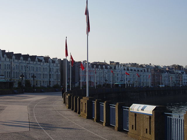
English: On the southern end of the Loch Promenade, camera pointed north. The flagpoles are adorned with the Manx flag. The Manx National Heritage sign installed on the right (foreground) describes what can be seen from this point along the Douglas Trail: the Tower of Refuge, the Loch Promenade and Sunken Gardens, the Wreck of the St. George, the Jubilee Clock, and the David "Dawsey" Kewley Drinking Fountain. |
| Date | |
| Source | Own work |
| Author | Gregory J Kingsley |
54°8′58.8″N 4°28′32.9″W / 54.149667°N 4.475806°W
| Camera location | | View this and other nearby images on: OpenStreetMap |
|---|
Licensing
I, the copyright holder of this work, hereby publish it under the following licenses:
This file is licensed under the Creative Commons Attribution-Share Alike 3.0 Unported license.
- You are free:
- to share – to copy, distribute and transmit the work
- to remix – to adapt the work
- Under the following conditions:
- attribution – You must give appropriate credit, provide a link to the license, and indicate if changes were made. You may do so in any reasonable manner, but not in any way that suggests the licensor endorses you or your use.
- share alike – If you remix, transform, or build upon the material, you must distribute your contributions under the same or compatible license as the original.

|
Permission is granted to copy, distribute and/or modify this document under the terms of the GNU Free Documentation License, Version 1.2 or any later version published by the Free Software Foundation; with no Invariant Sections, no Front-Cover Texts, and no Back-Cover Texts. A copy of the license is included in the section entitled GNU Free Documentation License. |
You may select the license of your choice.
File history
Click on a date/time to view the file as it appeared at that time.
| Date/Time | Thumbnail | Dimensions | User | Comment | |
|---|---|---|---|---|---|
| current | 03:07, 18 August 2009 | | 2,560 × 1,920 (647 KB) | Gregory J Kingsley | {{Information |Description={{en|1=On the southern end of the Loch Promenade, camera pointed north. The flagpoles are adorned with the Manx flag. The Manx National Heritage sign installed on the right (foreground) describes what can be seen from this poi |
File usage
The following pages on the English Wikipedia use this file (pages on other projects are not listed):
Global file usage
The following other wikis use this file:
- Usage on af.wikipedia.org
- Usage on ar.wikipedia.org
- Usage on azb.wikipedia.org
- Usage on eo.wikipedia.org
- Usage on es.wikipedia.org
- Usage on mt.wikipedia.org
- Usage on sco.wikipedia.org
- Usage on sk.wikipedia.org
- Usage on sl.wikipedia.org