
File:Map of USA highlighting Mid-Atlantic states.png
Size of this preview: 800 × 525 pixels. Other resolutions: 320 × 210 pixels | 640 × 420 pixels | 904 × 593 pixels.
Original file (904 × 593 pixels, file size: 31 KB, MIME type: image/png)
| This is a file from the Wikimedia Commons. Information from its description page there is shown below. Commons is a freely licensed media file repository. You can help. |
Summary
| Description |
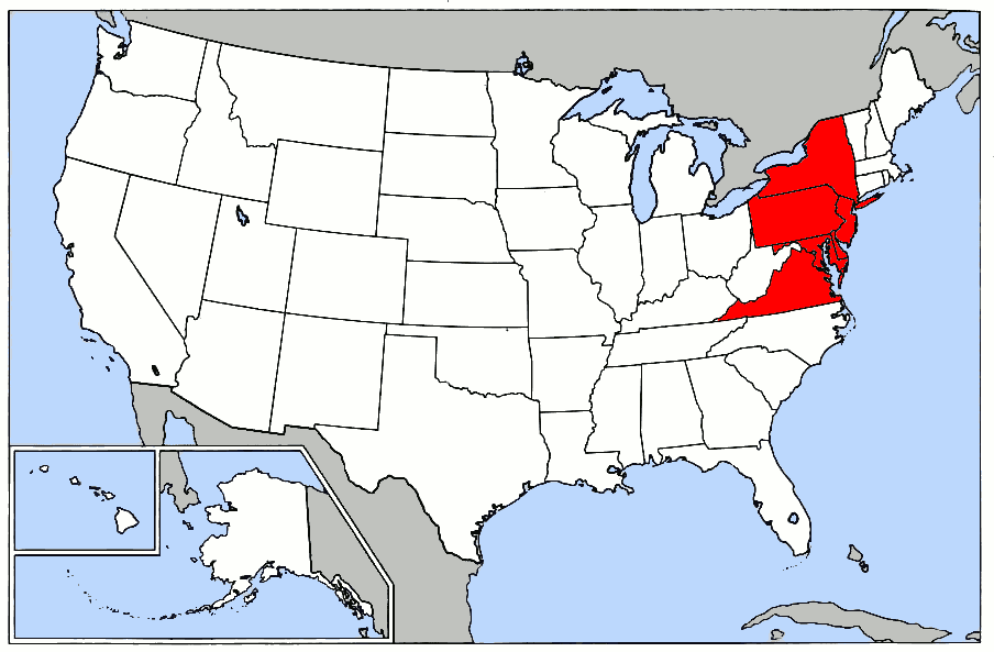
English: Map of the Mid-Atlantic United States |
| Date | |
| Source | Made from :Image:Map of USA.png. |
| Author | Grendelkhan at English Wikipedia |
Licensing
| This file is licensed under the Creative Commons Attribution-Share Alike 3.0 Unported license. Subject to disclaimers. | ||
| ||
| This licensing tag was added to this file as part of the GFDL licensing update. |

|
Permission is granted to copy, distribute and/or modify this document under the terms of the GNU Free Documentation License, Version 1.2 or any later version published by the Free Software Foundation; with no Invariant Sections, no Front-Cover Texts, and no Back-Cover Texts. A copy of the license is included in the section entitled GNU Free Documentation License. Subject to disclaimers. |
Original upload log
The original description page was here. All following user names refer to en.wikipedia.
| Date/Time | Dimensions | User | Comment |
|---|---|---|---|
| 2005-03-28 21:22 | 904×593× (31314 bytes) | Tom | highlighted [[Virginia]] |
| 2005-01-12 03:48 | 904×593× (27020 bytes) | Grendelkhan | Made from [[:Image:Map of USA.png]]. {{GFDL}} |
File history
Click on a date/time to view the file as it appeared at that time.
| Date/Time | Thumbnail | Dimensions | User | Comment | |
|---|---|---|---|---|---|
| current | 01:53, 3 February 2018 | | 904 × 593 (31 KB) | OgreBot | (BOT): Reverting to most recent version before archival |
| 01:53, 3 February 2018 |  | 904 × 593 (26 KB) | OgreBot | (BOT): Uploading old version of file from en.wikipedia; originally uploaded on 2005-01-12 03:48:12 by Grendelkhan | |
| 01:52, 3 February 2018 |  | 904 × 593 (31 KB) | Kingofthedead | Transferred from en.wikipedia |
File usage
No pages on the English Wikipedia use this file (pages on other projects are not listed).