
File:P-Africa.svg

Size of this PNG preview of this SVG file: 609 × 599 pixels. Other resolutions: 244 × 240 pixels | 488 × 480 pixels | 781 × 768 pixels | 1,041 × 1,024 pixels | 2,081 × 2,048 pixels | 1,123 × 1,105 pixels.
Original file (SVG file, nominally 1,123 × 1,105 pixels, file size: 336 KB)
| This is a file from the Wikimedia Commons. Information from its description page there is shown below. Commons is a freely licensed media file repository. You can help. |
Summary
| Description |
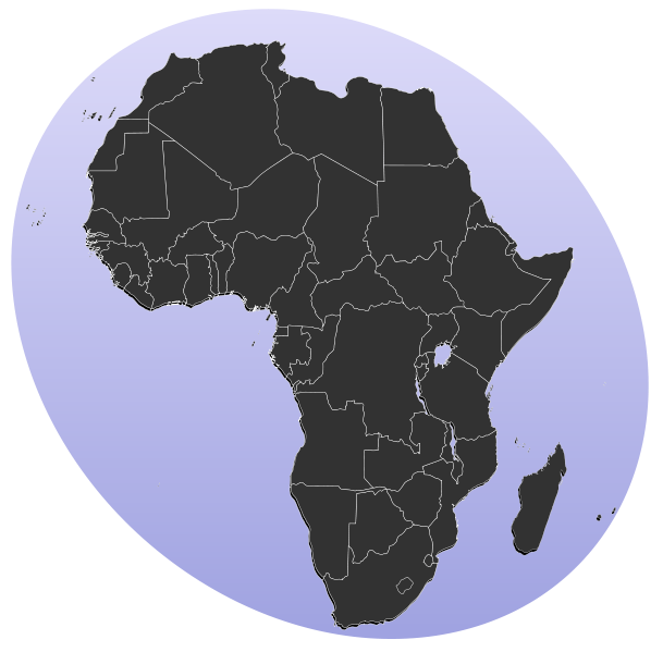
Blank map of Africa Detailed SVG map with grouping enabled to connect all non-contiguous parts of a country's territory for easy colouring. Smaller countries can also be represented by larger circles to show their data easier. All countries are tagged by their ISO code. A thorough description of use and other instructions can be found on the BlankMap-World6.svg . To make these territories transparent simply use the style .sh, .pt-30, .es-cn, .yt, .re {opacity: 0;} |
||
| Date | (UTC) | ||
| Source |
This file was derived from: BlankMap-Africa.svg: |
||
| Author |
|
||
| SVG development |
|
Licensing
| This work has been released into the public domain by its author, Lokal_Profil. This applies worldwide. In some countries this may not be legally possible; if so: |
Original upload log
This image is a derivative work of the following images:
- File:BlankMap-Africa.svg licensed with PD-user
- 2011-11-08T13:50:11Z Htonl 1000x1000 (188219 Bytes) South Sudan has been allocated ISO code SS; change class and id correspondingly
- 2011-07-09T21:38:33Z Lokal_Profil 1000x1000 (188235 Bytes) Fixed code. Essentialy reverted and readded south sudan manually
- 2011-07-09T17:09:06Z Seb az86556 1000x1000 (189357 Bytes) +South Sudan
- 2010-07-18T16:04:42Z Stephen Morley 1000x1000 (189216 Bytes) Fixed errors that made SVG invalid
- 2009-09-22T16:22:54Z Lokal_Profil 1000x1000 (188987 Bytes) Reverted to version as of 00:54, 3 April 2008; the new map contains none of the iso code and css abilities of the original
- 2009-09-22T15:11:08Z NuclearVacuum 1000x1000 (360040 Bytes) minor change
- 2009-09-22T15:06:20Z NuclearVacuum 1000x1000 (360239 Bytes) Fixed map so it shows surrounding countries as well as making the code valid
- 2008-04-03T00:54:00Z Lokal_Profil 1000x1000 (188987 Bytes) reunion, saint helena, madeira and canary islands (mayotte already in) added for completion
- 2008-04-01T00:21:58Z Lokal_Profil 1000x1000 (185868 Bytes) Made circles smaller, and circular. They were the right size for the world map but to big for the Africa only map
- 2008-03-31T23:55:20Z Lokal_Profil 1000x1000 (185877 Bytes) Removed circle for gambia, not needed for Africa only map
- 2008-03-24T03:09:01Z Lokal_Profil 1000x1000 (186084 Bytes) {{Information |Description=Blank map of Africa Detailed SVG map with grouping enabled to connect all non-contiguous parts of a country's territory for easy colouring. Smaller countries can also be represented by larger circl
Uploaded with derivativeFX
File history
Click on a date/time to view the file as it appeared at that time.
| Date/Time | Thumbnail | Dimensions | User | Comment | |
|---|---|---|---|---|---|
| current | 13:31, 18 January 2012 | | 1,123 × 1,105 (336 KB) | Amirki | סיני |
| 19:22, 17 January 2012 |  | 1,079 × 1,068 (337 KB) | Amirki | . | |
| 19:20, 17 January 2012 |  | 1,000 × 1,000 (337 KB) | Amirki | == {{int:filedesc}} == {{Information |Description=Blank map of Africa Detailed SVG map with grouping enabled to connect all non-contiguous parts of a country's territory for easy colouring. Smaller countries can also be represented by larger circles to s |
File usage
The following pages on the English Wikipedia use this file (pages on other projects are not listed):
- A Life Full of Holes
- African Writing Today
- Al-Zaeem
- Albert S. Gérard
- Angolan literature
- Butterfly Burning
- Calabar International Conference on African Literature and the English Language
- Chadian literature
- Chewing Gum (novel)
- Clive Wake
- East African Junior Library
- Every Woman in This Village is a Liar
- Fate of the Banished
- Gabonese literature
- God's Bits of Wood
- L'Aventure ambiguë
- Lesotho literature
- Literature of Djibouti
- Matatu (journal)
- Mr. Myombekere and His Wife Bugonoka, Their Son Ntulanalwo and Daughter Bulihwali
- O mar na Lajinha
- Prix Makomi
- Reading the Ceiling
- River Spirit
- Sab'ab Atwat
- The African (Conton novel)
- The First Daughter (novel)
- The Hairdresser of Harare
- The Last Will and Testament of Senhor da Silva Araújo
- The Money-Order with White Genesis
- The Old Man and the Medal
- The Second Round (novel)
- The Translator
- Think of Lampedusa
- Three Crowns Books
- Timbuktu Chronicles
- Xala (novel)
- Xhosa literature
- User:0x16w/portal
- Wikipedia:Graphics Lab/Map workshop/Archive/March 2014
- Template:Africa-lit-stub
- Template:Africa-novel-stub
Global file usage
The following other wikis use this file:
- Usage on als.wikipedia.org
- Usage on be-tarask.wikipedia.org
- Usage on bg.wikipedia.org
- Африка
- Серенгети
- Египет
- Мозамбик
- Ангола
- Древен Египет
- Кампала
- Сервал
- Нок
- Северен жираф
- Огун
- Нигерия
- Орания
- Хаутенг
- Бенин
- Демократична република Конго
- Кабо Верде
- Намибия
- Танзания
- Архаичен период на Египет
- Ново царство
- Сеута
- Бушмени
- Птах
- Майот
- Муамар Кадафи
- Канарски острови
- Сръчен човек
- Мелиля
- Реюнион
- Сехмет
- Френска Западна Африка
- Сирт
- Карнак
- Книга на мъртвите (Древен Египет)
- Арабски халифат
- Гиза (област)
View more global usage of this file.