
File:Pakatoa Island from Rotoroa Island.jpg

Size of this preview: 800 × 471 pixels. Other resolutions: 320 × 188 pixels | 640 × 376 pixels | 1,024 × 602 pixels | 1,280 × 753 pixels | 2,560 × 1,506 pixels | 4,896 × 2,880 pixels.
Original file (4,896 × 2,880 pixels, file size: 4.6 MB, MIME type: image/jpeg)
| This is a file from the Wikimedia Commons. Information from its description page there is shown below. Commons is a freely licensed media file repository. You can help. |
Summary
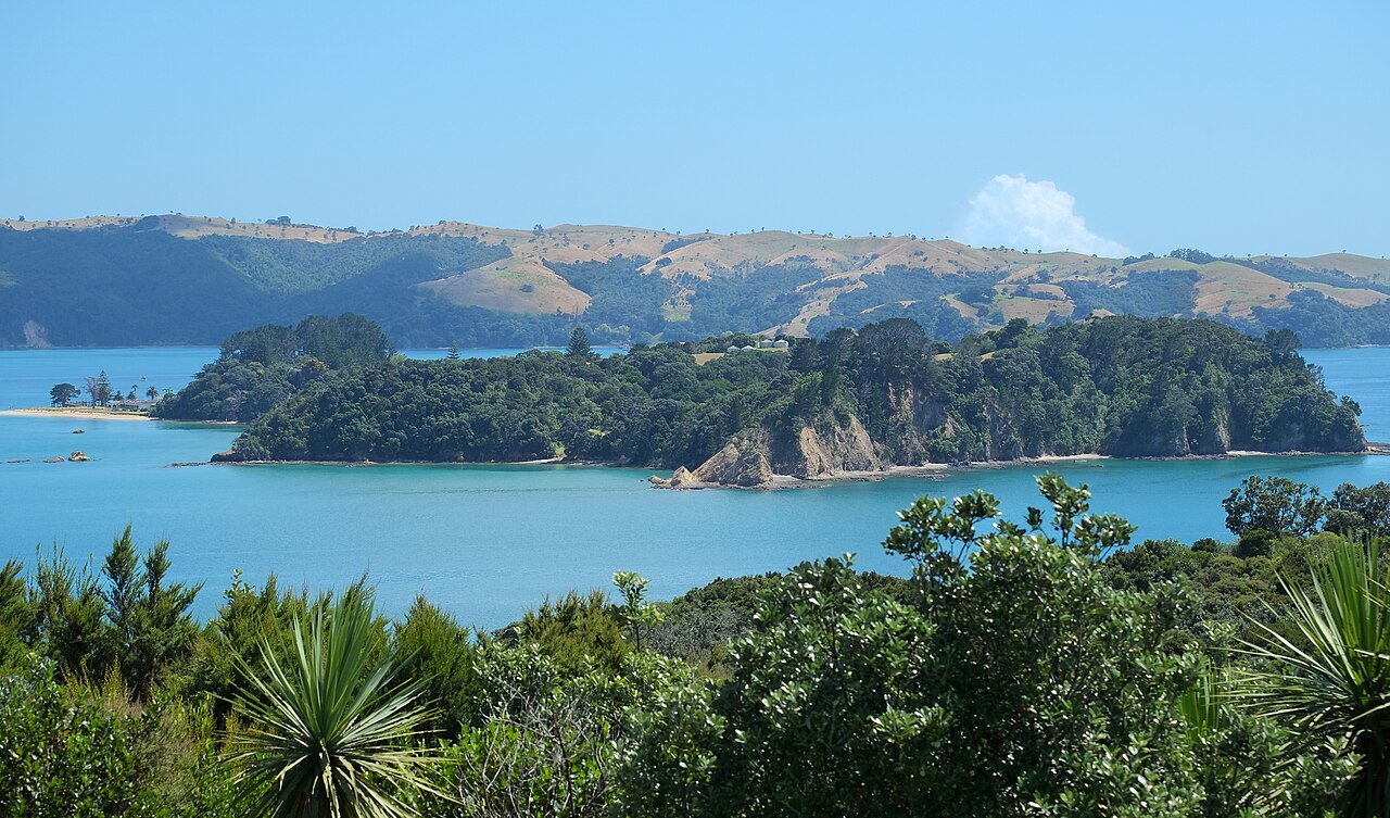
| Description | Pakatoa Island from Rotoroa Island (foreground), looking north, Waiheke Island in the background |
| Date | |
| Source | Own work |
| Author | Pseudopanax at English Wikipedia |
| Camera location | | View this and other nearby images on: OpenStreetMap |
|---|
Licensing
| I, the copyright holder of this work, release this work into the public domain. This applies worldwide. In some countries this may not be legally possible; if so: I grant anyone the right to use this work for any purpose, without any conditions, unless such conditions are required by law. |
| Annotations | This image is annotated: View the annotations at Commons |
File history
Click on a date/time to view the file as it appeared at that time.
| Date/Time | Thumbnail | Dimensions | User | Comment | |
|---|---|---|---|---|---|
| current | 21:24, 18 June 2024 | | 4,896 × 2,880 (4.6 MB) | Pseudopanax | == {{int:filedesc}} == {{Information |Description=Pakatoa Island from Rotoroa Island (foreground), looking north, Waiheke Island in the background |Source={{Own}} |Date=2024-02-17 |Author={{user at project|Pseudopanax|wikipedia|en}} }} {{location|36|48|41|S|175|11|58.8|E}} == {{int:license-header}} == {{PD-self}} Category:Islands of the Auckland Region Category:Islands of the Hauraki Gulf Category:Rotoroa Island |
File usage
The following pages on the English Wikipedia use this file (pages on other projects are not listed):
Global file usage
The following other wikis use this file:
- Usage on ceb.wikipedia.org
- Usage on www.wikidata.org