
File:Phoenix Deer Valley Airport - USGS 30 April 1997.jpg

Size of this preview: 800 × 364 pixels. Other resolutions: 320 × 145 pixels | 640 × 291 pixels | 1,650 × 750 pixels.
Original file (1,650 × 750 pixels, file size: 172 KB, MIME type: image/jpeg)
| This is a file from the Wikimedia Commons. Information from its description page there is shown below. Commons is a freely licensed media file repository. You can help. |
Summary
| Description |
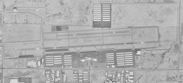
English: Aerial image of Phoenix Deer Valley Airport (FAA: DVT) in Phoenix, Arizona, United States. |
| Date | |
| Source | USGS digital orthophoto via MSR Maps |
| Author | United States Geological Survey (USGS) |
| Permission (Reusing this file) |
Public domain |
| Object location | | View this and other nearby images on: OpenStreetMap |
|---|
Licensing
This image is in the public domain in the United States because it only contains materials that originally came from the United States Geological Survey, an agency of the United States Department of the Interior. For more information, see the official USGS copyright policy.
|
File history
Click on a date/time to view the file as it appeared at that time.
| Date/Time | Thumbnail | Dimensions | User | Comment | |
|---|---|---|---|---|---|
| current | 05:20, 2 August 2010 | | 1,650 × 750 (172 KB) | Zyxw | == {{int:filedesc}} == {{Information | description = {{en|Aerial image of {{w|Phoenix Deer Valley Airport}} (FAA: DVT) in Phoenix, Arizona, United States.}} | date = 1997-04-30 | source = USGS digital {{w|orthophoto}} via [http://msrmaps.com/map.aspx?t=1& |
File usage
The following pages on the English Wikipedia use this file (pages on other projects are not listed):
Global file usage
The following other wikis use this file:
- Usage on fa.wikipedia.org
- Usage on tg.wikipedia.org