
File:Provence-Alpes-Cote d'azur region location map.svg

Size of this PNG preview of this SVG file: 692 × 600 pixels. Other resolutions: 277 × 240 pixels | 554 × 480 pixels | 887 × 768 pixels | 1,182 × 1,024 pixels | 2,364 × 2,048 pixels | 2,732 × 2,367 pixels.
Original file (SVG file, nominally 2,732 × 2,367 pixels, file size: 570 KB)
| This is a file from the Wikimedia Commons. Information from its description page there is shown below. Commons is a freely licensed media file repository. You can help. |
Summary
| Description |
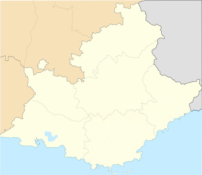
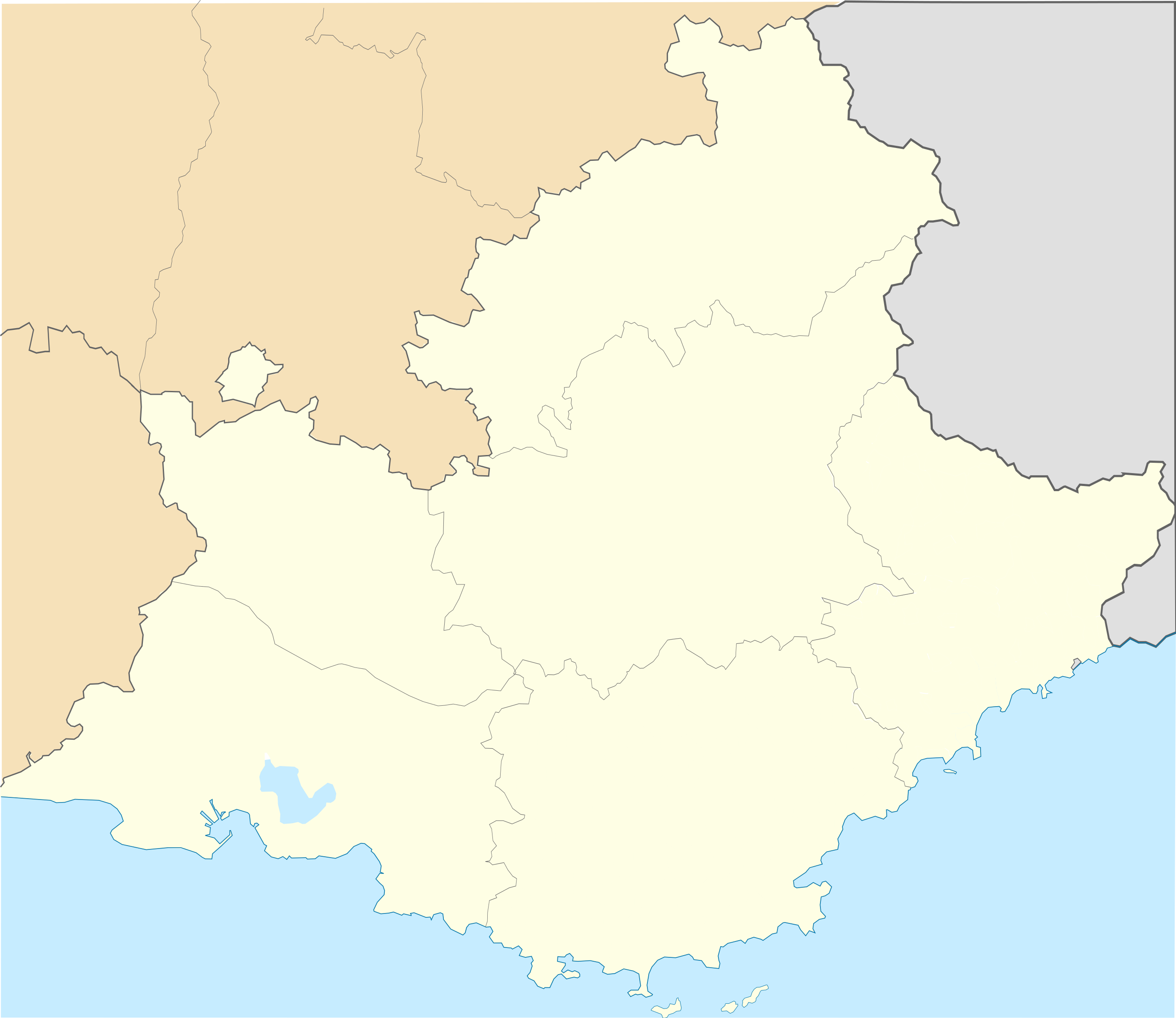
Français : Carte administrative de la région Provence-Alpes-Côte d'Azur, France destinée à la géo-localisation
English: Administrative map of Provence-Alpes-Côte d'Azur for geo-location purpose
|
| Date | |
| Source |
Own work, derivate work from maps of User:Poulpy, merger of five maps
|
| Author | Edouard-rainaut |
| Other versions |
Derivative works of this file: Arrondissement de Grasse in PACA locator map.svg
|


Licensing
I, the copyright holder of this work, hereby publish it under the following license:
This file is licensed under the Creative Commons Attribution-Share Alike 3.0 Unported license.
- You are free:
- to share – to copy, distribute and transmit the work
- to remix – to adapt the work
- Under the following conditions:
- attribution – You must give appropriate credit, provide a link to the license, and indicate if changes were made. You may do so in any reasonable manner, but not in any way that suggests the licensor endorses you or your use.
- share alike – If you remix, transform, or build upon the material, you must distribute your contributions under the same or compatible license as the original.
File history
Click on a date/time to view the file as it appeared at that time.
| Date/Time | Thumbnail | Dimensions | User | Comment | |
|---|---|---|---|---|---|
| current | 10:22, 1 December 2012 | | 2,732 × 2,367 (570 KB) | Edouard-rainaut | effacement limites communes sur département du Var. affinage côtes |
| 16:53, 29 November 2012 |  | 2,732 × 2,367 (560 KB) | Edouard-rainaut | corrections mineures :liseré bord de mer, Mer à gauche mal démarquée | |
| 14:32, 28 November 2012 |  | 2,732 × 2,367 (554 KB) | Edouard-rainaut | User created page with UploadWizard |
File usage
No pages on the English Wikipedia use this file (pages on other projects are not listed).
Global file usage
The following other wikis use this file:
- Usage on ar.wikipedia.org
- Usage on azb.wikipedia.org
- Usage on az.wikipedia.org
- Usage on bg.wikipedia.org
- Usage on bn.wikipedia.org
- Usage on ceb.wikipedia.org
- Usage on el.wikipedia.org
- Usage on fa.wikipedia.org
View more global usage of this file.