
File:SUR orthographic.svg

Size of this PNG preview of this SVG file: 550 × 550 pixels. Other resolutions: 240 × 240 pixels | 480 × 480 pixels | 768 × 768 pixels | 1,024 × 1,024 pixels | 2,048 × 2,048 pixels.
Original file (SVG file, nominally 550 × 550 pixels, file size: 1.11 MB)
| This is a file from the Wikimedia Commons. Information from its description page there is shown below. Commons is a freely licensed media file repository. You can help. |
Summary
| Description |
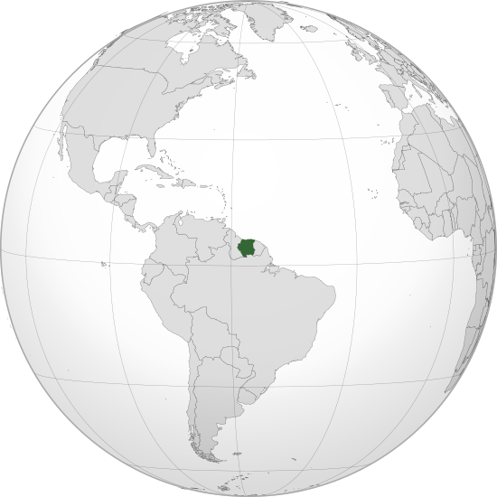
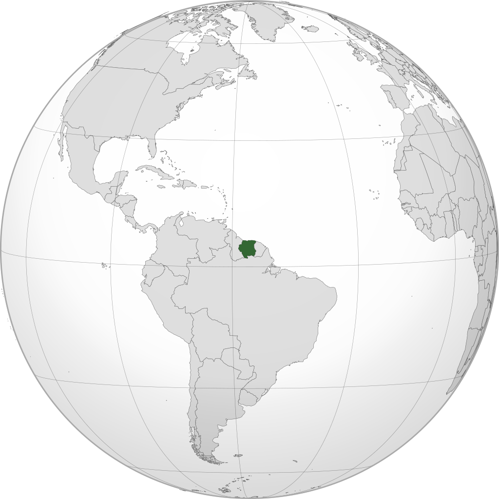
English: Orthographic map of Suriname centered at 4° N, 56° W.
Official territory.
Claimed territories. |
| Date | |
| Source | Own work |
| Author | Addicted04 |
| SVG development |
Licensing
I, the copyright holder of this work, hereby publish it under the following license:
This file is licensed under the Creative Commons Attribution-Share Alike 3.0 Unported license.
- You are free:
- to share – to copy, distribute and transmit the work
- to remix – to adapt the work
- Under the following conditions:
- attribution – You must give appropriate credit, provide a link to the license, and indicate if changes were made. You may do so in any reasonable manner, but not in any way that suggests the licensor endorses you or your use.
- share alike – If you remix, transform, or build upon the material, you must distribute your contributions under the same or compatible license as the original.
File history
Click on a date/time to view the file as it appeared at that time.
| Date/Time | Thumbnail | Dimensions | User | Comment | |
|---|---|---|---|---|---|
| current | 15:16, 8 May 2023 | | 550 × 550 (1.11 MB) | WeaponizingArchitecture | Stop it please. |
| 22:38, 6 May 2023 |  | 512 × 512 (903 KB) | SurinameCentral | Reverted to version as of 17:32, 7 April 2023 (UTC) | |
| 00:45, 5 May 2023 |  | 550 × 550 (1.11 MB) | WeaponizingArchitecture | Stop adding in surinames disputes. It does not goven this land | |
| 17:32, 7 April 2023 |  | 512 × 512 (903 KB) | SurinameCentral | Reverted to version as of 13:41, 26 March 2023 (UTC), This image is being used on a Suriname Specific Page. | |
| 16:35, 7 April 2023 |  | 550 × 550 (1.11 MB) | Kordas | Tigri Area is not Suriname | |
| 13:41, 26 March 2023 |  | 512 × 512 (903 KB) | SurinameCentral | Background Transparency Corrected | |
| 23:31, 24 March 2023 |  | 512 × 512 (872 KB) | SurinameCentral | Suriname Highlight corrections | |
| 20:06, 8 July 2012 |  | 550 × 550 (1.11 MB) | Addicted04 |
File usage
The following pages on the English Wikipedia use this file (pages on other projects are not listed):
Global file usage
The following other wikis use this file:
- Usage on ar.wikipedia.org
- مستخدم:جار الله/قائمة صور مقالات العلاقات الثنائية
- العلاقات الأمريكية السورينامية
- العلاقات الأنغولية السورينامية
- العلاقات السورينامية الكورية الجنوبية
- العلاقات الإريترية السورينامية
- العلاقات السورينامية السويسرية
- العلاقات الألمانية السورينامية
- العلاقات السورينامية الليختنشتانية
- العلاقات البوليفية السورينامية
- العلاقات السورينامية الموزمبيقية
- العلاقات الألبانية السورينامية
- العلاقات البلجيكية السورينامية
- العلاقات الإثيوبية السورينامية
- العلاقات البيلاروسية السورينامية
- العلاقات السورينامية الطاجيكستانية
- العلاقات الروسية السورينامية
- العلاقات الرومانية السورينامية
- العلاقات الأرجنتينية السورينامية
- العلاقات السورينامية الغامبية
- العلاقات السورينامية القبرصية
- العلاقات السورينامية السيراليونية
- العلاقات السورينامية النيبالية
- العلاقات السورينامية الليبيرية
- العلاقات التشيكية السورينامية
- العلاقات السورينامية الميانمارية
- العلاقات السورينامية الكندية
- العلاقات السعودية السورينامية
- العلاقات الزيمبابوية السورينامية
- العلاقات الإسرائيلية السورينامية
- العلاقات البالاوية السورينامية
- العلاقات السورينامية المالية
- العلاقات السورينامية النيجيرية
- العلاقات اليمنية السورينامية
- العلاقات السورينامية الفانواتية
- العلاقات الغابونية السورينامية
- العلاقات البنمية السورينامية
- العلاقات السورينامية الكوبية
- العلاقات الجورجية السورينامية
- العلاقات التونسية السورينامية
- العلاقات السورينامية الكورية الشمالية
- العلاقات الهندية السورينامية
- العلاقات اليابانية السورينامية
- العلاقات الإيطالية السورينامية
- العلاقات السورينامية الناوروية
- العلاقات الأسترالية السورينامية
- العلاقات الزامبية السورينامية
- العلاقات السورينامية الفيجية
- العلاقات المارشالية السورينامية
- العلاقات الأذربيجانية السورينامية
- العلاقات السودانية السورينامية
View more global usage of this file.