
File:Shaft and pump house, London Water Ring Main (geograph 5546519).jpg
No higher resolution available.
Shaft_and_pump_house,_London_Water_Ring_Main_(geograph_5546519).jpg (640 × 480 pixels, file size: 109 KB, MIME type: image/jpeg)
| This is a file from the Wikimedia Commons. Information from its description page there is shown below. Commons is a freely licensed media file repository. You can help. |
.jpg)
Summary
| Description |
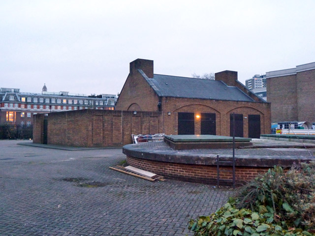
English: Shaft and pump house, London Water Ring Main. Actually on a spur off the ring, at first at the end of it, but it was later extended eastwards. |
| Date | Taken on 21 March 2013 |
| Source | From geograph.org.uk |
| Author | Robin Webster |
| Permission (Reusing this file) |
Creative Commons Attribution Share-alike license 2.0 |
| Attribution (required by the license) | Shaft and pump house, London Water Ring Main / |
| Camera location | | View this and other nearby images on: OpenStreetMap |
|---|
.jpg¶ms=051.528217_N_-000.109887_E_globe:Earth_type:camera_source:geograph-osgb36(TQ3121282727)_heading:112.00&language=en)
| Object location | | View this and other nearby images on: OpenStreetMap |
|---|
.jpg¶ms=051.528060_N_-000.109490_E_globe:Earth_class:object_type:object_source:geograph-osgb36(TQ31248271)_heading:112.00&language=en)
Licensing

|
This image was taken from the
Creative Commons Attribution-ShareAlike 2.0 license. |
This file is licensed under the Creative Commons Attribution-Share Alike 2.0 Generic license.
Attribution: Robin Webster
- You are free:
- to share – to copy, distribute and transmit the work
- to remix – to adapt the work
- Under the following conditions:
- attribution – You must give appropriate credit, provide a link to the license, and indicate if changes were made. You may do so in any reasonable manner, but not in any way that suggests the licensor endorses you or your use.
- share alike – If you remix, transform, or build upon the material, you must distribute your contributions under the same or compatible license as the original.
File history
Click on a date/time to view the file as it appeared at that time.
| Date/Time | Thumbnail | Dimensions | User | Comment | |
|---|---|---|---|---|---|
| current | 10:34, 29 April 2020 | | 640 × 480 (109 KB) | Chris j wood | Transferred from geograph.co.uk using [https://tools.wmflabs.org/geograph2commons/ geograph2commons] |
File usage
The following pages on the English Wikipedia use this file (pages on other projects are not listed):
Global file usage
The following other wikis use this file:
- Usage on ru.wikipedia.org
- Usage on www.wikidata.org
.jpg)