
File:Sweden Scania relief location map.png
Size of this preview: 662 × 599 pixels. Other resolutions: 265 × 240 pixels | 530 × 480 pixels | 849 × 768 pixels | 1,131 × 1,024 pixels | 1,359 × 1,230 pixels.
Original file (1,359 × 1,230 pixels, file size: 1.73 MB, MIME type: image/png)
| This is a file from the Wikimedia Commons. Information from its description page there is shown below. Commons is a freely licensed media file repository. You can help. |
Summary
| Description |
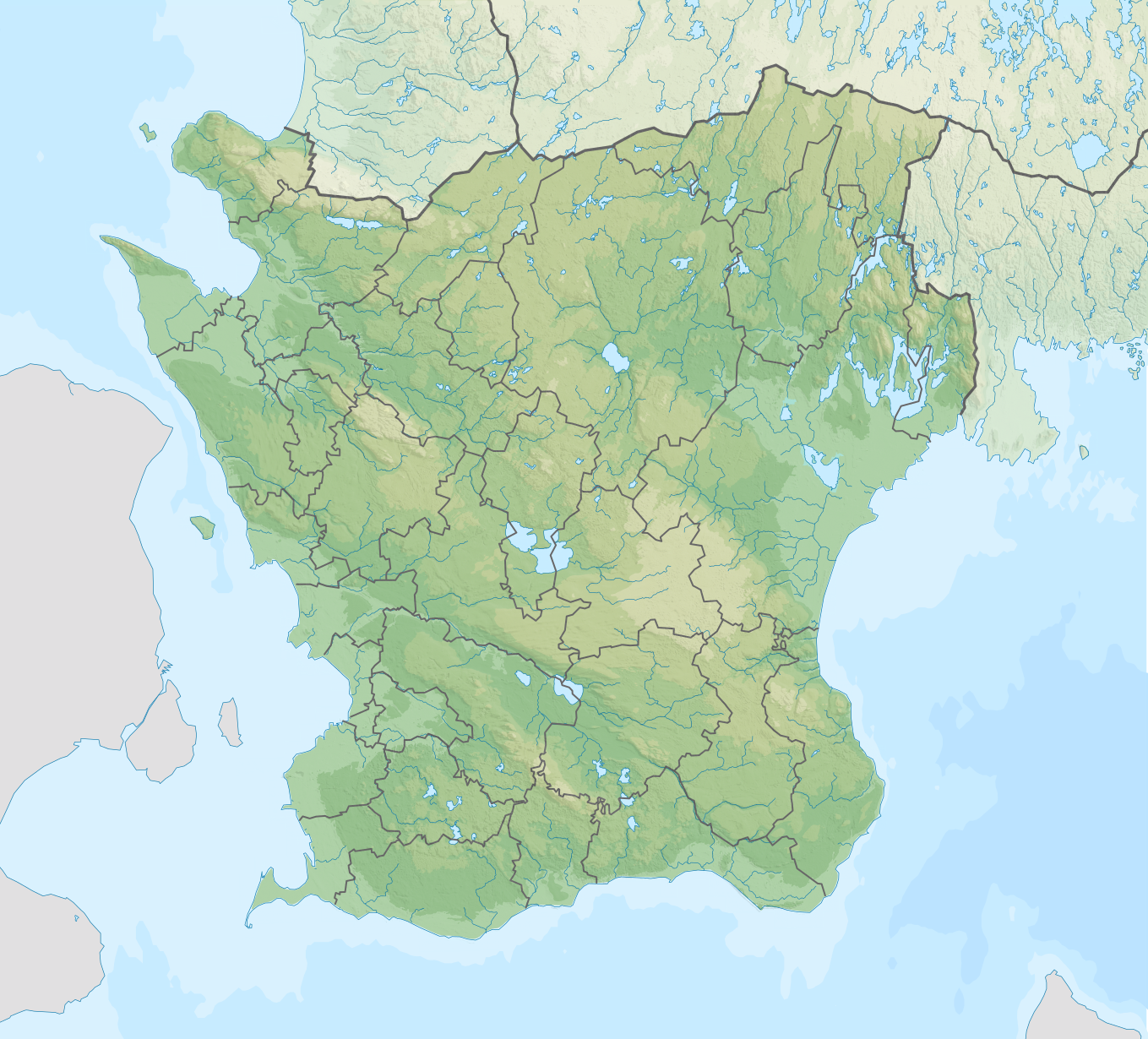
English: Location map of Scania (Skåne) in Sweden
Equirectangular projection, N/S stretching 179 %. Geographic limits of the map:
|
| Date | |
| Source |
Own work
|
| Author | Silverkey (Mickaël Delcey) |
Licensing
I, the copyright holder of this work, hereby publish it under the following license:
This file is licensed under the Creative Commons Attribution-Share Alike 4.0 International license.
- You are free:
- to share – to copy, distribute and transmit the work
- to remix – to adapt the work
- Under the following conditions:
- attribution – You must give appropriate credit, provide a link to the license, and indicate if changes were made. You may do so in any reasonable manner, but not in any way that suggests the licensor endorses you or your use.
- share alike – If you remix, transform, or build upon the material, you must distribute your contributions under the same or compatible license as the original.
File history
Click on a date/time to view the file as it appeared at that time.
| Date/Time | Thumbnail | Dimensions | User | Comment | |
|---|---|---|---|---|---|
| current | 18:59, 12 April 2017 | | 1,359 × 1,230 (1.73 MB) | Silverkey | Add bathymetry |
| 16:51, 3 February 2017 |  | 1,359 × 1,230 (1.71 MB) | Silverkey | Correction of the municipality lines | |
| 06:34, 3 February 2017 |  | 1,359 × 1,230 (1.71 MB) | Silverkey | Added shaded relief | |
| 05:20, 3 February 2017 |  | 1,359 × 1,230 (836 KB) | Silverkey | User created page with UploadWizard |
File usage
The following pages on the English Wikipedia use this file (pages on other projects are not listed):
Global file usage
The following other wikis use this file:
- Usage on bg.wikipedia.org
- Малмьо
- Юстад
- Хелсингбори
- Лунд
- Трелебори
- Ландскруна
- Енгелхолм
- Арльов
- Осторп
- Бостад
- Бюв
- Брубю
- Брумьола
- Есльов
- Хеслехолм
- Хьоганес
- Хьойор
- Хьорбю
- Шевлинге
- Клипан
- Лома
- Йоркелюнга
- Осбю
- Перщорп
- Симрисхамн
- Шьобу
- Скюруп
- Стафансторп
- Свальов
- Сведала
- Тумелила
- Велинге
- Йеруп
- Сканьор мед Фалстербу
- Хьолвикен
- Далбю
- Тюринге
- Охус
- Кришанстад
- Шаблон:ПК Швеция Сконе
- Окарп
- Вестра Каруп
- Бярльов
- Usage on da.wikipedia.org
- Usage on es.wikipedia.org
View more global usage of this file.