
File:Tideswell - church and village rooftops - geograph.org.uk - 624016.jpg
No higher resolution available.
Tideswell_-_church_and_village_rooftops_-_geograph.org.uk_-_624016.jpg (640 × 480 pixels, file size: 101 KB, MIME type: image/jpeg)
| This is a file from the Wikimedia Commons. Information from its description page there is shown below. Commons is a freely licensed media file repository. You can help. |
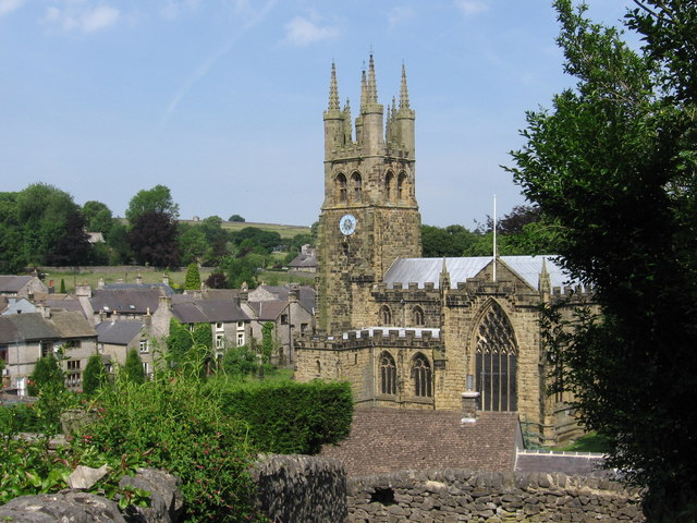
This is a photo of listed building number 1215255. |
Summary
| Description |
English: Tideswell - church and village rooftops View from sharp bend in Church Lane. |
| Date | |
| Source | From geograph.org.uk |
| Author | Dave Bevis |
| Attribution (required by the license) | Dave Bevis / Tideswell - church and village rooftops / |
| Camera location | | View this and other nearby images on: OpenStreetMap |
|---|
_heading:315.00&language=en)
| Object location | | View this and other nearby images on: OpenStreetMap |
|---|
_heading:315.00&language=en)
Licensing

|
This image was taken from the
Creative Commons Attribution-ShareAlike 2.0 license. |
This file is licensed under the Creative Commons Attribution-Share Alike 2.0 Generic license.
Attribution: Dave Bevis
- You are free:
- to share – to copy, distribute and transmit the work
- to remix – to adapt the work
- Under the following conditions:
- attribution – You must give appropriate credit, provide a link to the license, and indicate if changes were made. You may do so in any reasonable manner, but not in any way that suggests the licensor endorses you or your use.
- share alike – If you remix, transform, or build upon the material, you must distribute your contributions under the same or compatible license as the original.
File history
Click on a date/time to view the file as it appeared at that time.
| Date/Time | Thumbnail | Dimensions | User | Comment | |
|---|---|---|---|---|---|
| current | 07:22, 7 February 2011 | | 640 × 480 (101 KB) | GeographBot | == {{int:filedesc}} == {{Information |description={{en|1=Tideswell - church and village rooftops View from sharp bend in Church Lane.}} |date=2006-07-01 |source=From [http://www.geograph.org.uk/photo/624016 geograph.org.uk] |author=[http://www.geograph.or |
File usage
The following pages on the English Wikipedia use this file (pages on other projects are not listed):
Global file usage
The following other wikis use this file:
- Usage on arz.wikipedia.org
- Usage on dag.wikipedia.org
- Usage on www.wikidata.org