
File:Txu-oclc-10552568-nh49-8.jpg

Size of this preview: 790 × 600 pixels. Other resolutions: 316 × 240 pixels | 632 × 480 pixels | 1,012 × 768 pixels | 1,280 × 972 pixels | 2,560 × 1,944 pixels | 5,000 × 3,796 pixels.
Original file (5,000 × 3,796 pixels, file size: 5.4 MB, MIME type: image/jpeg)
| This is a file from the Wikimedia Commons. Information from its description page there is shown below. Commons is a freely licensed media file repository. You can help. |
Summary
| Description |
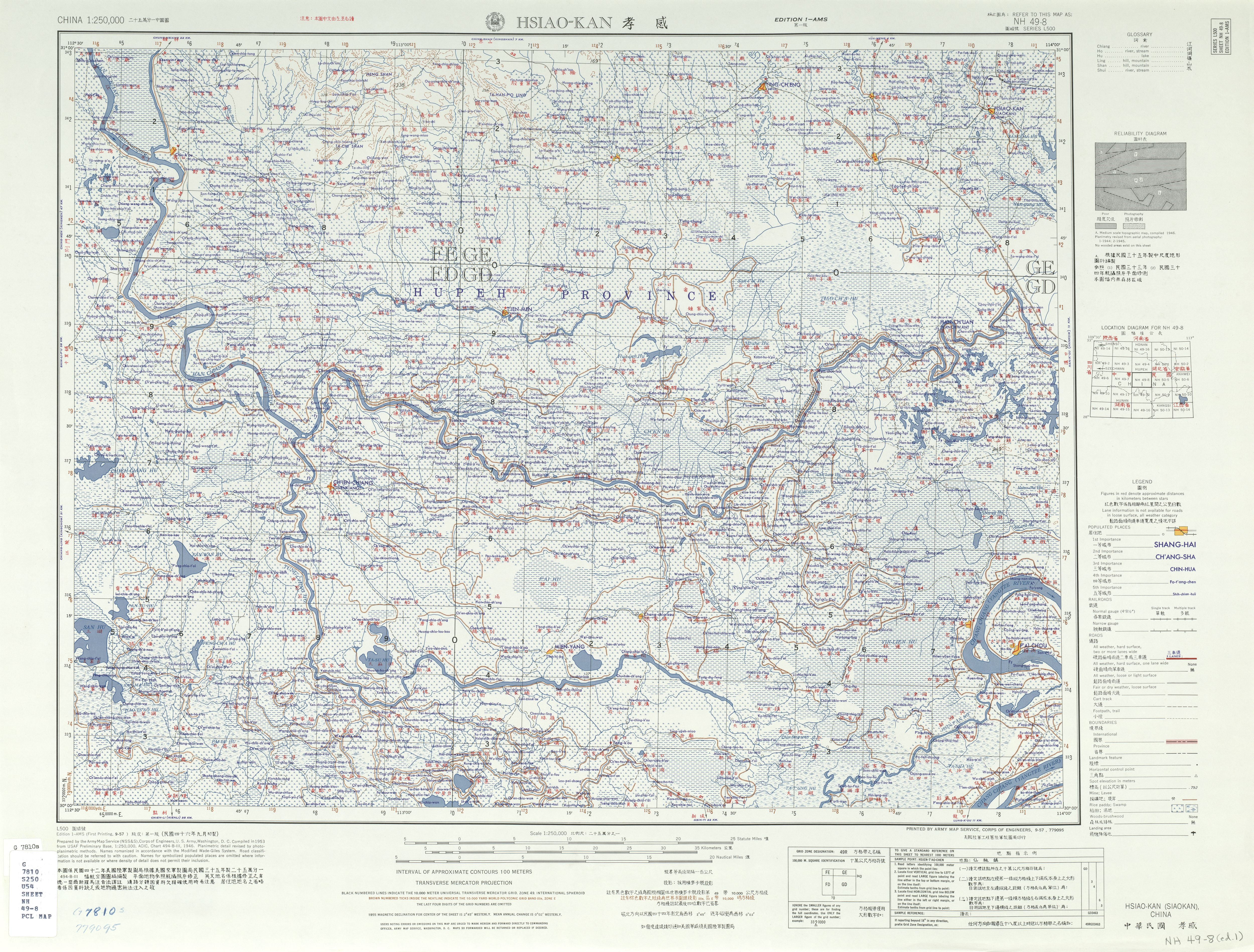
English: NH 49-8 HSIAO-KAN (SIAOKAN), CHINA (5.7 MB), China AMS Topographic Maps; area around Xiaogan (Hsiao-kan, Siaokan), Hubei (Hupeh) Province, China. 中文(繁體):中華民國 孝感 |
| Date | First Printing: September 1957 |
| Source | Courtesy of the University of Texas Libraries, The University of Texas at Austin. Map: NH 49-8 HSIAO-KAN (Archived [1]), OCLC 10552568 |
| Author | Army Map Service, Corps of Engineers |
Licensing
This image or file is a work of a U.S. Army Corps of Engineers soldier or employee, taken or made as part of that person's official duties. As a work of the U.S. federal government, the image is in the public domain.
|
File history
Click on a date/time to view the file as it appeared at that time.
| Date/Time | Thumbnail | Dimensions | User | Comment | |
|---|---|---|---|---|---|
| current | 04:56, 13 September 2019 | | 5,000 × 3,796 (5.4 MB) | Geographyinitiative | User created page with UploadWizard |
File usage
The following pages on the English Wikipedia use this file (pages on other projects are not listed):
Global file usage
The following other wikis use this file:
- Usage on en.wiktionary.org
- Usage on es.wikipedia.org