
File:Vents du Sud - Le Grau-du-Roi 04.jpg

Size of this preview: 800 × 471 pixels. Other resolutions: 320 × 188 pixels | 640 × 377 pixels | 1,024 × 603 pixels | 1,280 × 754 pixels | 2,560 × 1,507 pixels | 6,710 × 3,951 pixels.
Original file (6,710 × 3,951 pixels, file size: 19.85 MB, MIME type: image/jpeg)
| This is a file from the Wikimedia Commons. Information from its description page there is shown below. Commons is a freely licensed media file repository. You can help. |
Summary
| Description |
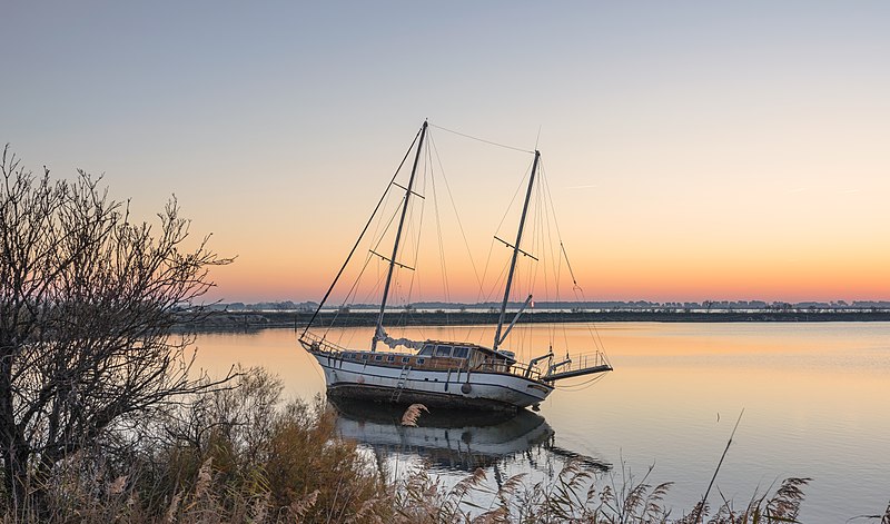
Français : Voilier Vents du Sud sur le Plan d'eau du Vidourle - Le Grau-du-Roi (Gard, France)
English: Sailboat Vents du Sud on the body of water "Plan d'eau du Vidourle" - Le Grau-du-Roi (Gard, France)
Čeština: Opuštěná plachetnice na vodním díle "Plan d'eau du Vidourle" ve městě Le Grau-du-Roi, Francie.
Español: Velero en "Plan d'eau du Vidourle", un cuerpo de agua en la comuna Le Grau-du-Roi, Francia.
Македонски: Едреник во Ле Гро ди Роа, јужна Франција.
|
| Date | |
| Source | Own work |
| Author | Christian Ferrer |
| Camera location | | View this and other nearby images on: OpenStreetMap |
|---|
Assessment
|
This image was selected as picture of the day on Wikimedia Commons for 23 March 2019. It was captioned as follows: Other languages:
Čeština: Opuštěná plachetnice na vodním díle "Plan d'eau du Vidourle" ve městě Le Grau-du-Roi, Francie. Español: Velero en "Plan d'eau du Vidourle", un cuerpo de agua en la comuna Le Grau-du-Roi, Francia. Македонски: Едреник во Ле Гро ди Роа, јужна Франција. |
Licensing
I, the copyright holder of this work, hereby publish it under the following license:
This file is licensed under the Creative Commons Attribution 4.0 International license.
- You are free:
- to share – to copy, distribute and transmit the work
- to remix – to adapt the work
- Under the following conditions:
- attribution – You must give appropriate credit, provide a link to the license, and indicate if changes were made. You may do so in any reasonable manner, but not in any way that suggests the licensor endorses you or your use.
File history
Click on a date/time to view the file as it appeared at that time.
| Date/Time | Thumbnail | Dimensions | User | Comment | |
|---|---|---|---|---|---|
| current | 17:51, 29 December 2018 | | 6,710 × 3,951 (19.85 MB) | Christian Ferrer | User created page with UploadWizard |
File usage
No pages on the English Wikipedia use this file (pages on other projects are not listed).
Global file usage
The following other wikis use this file:
- Usage on be-tarask.wikipedia.org
- Usage on crh.wikipedia.org
- Usage on cv.wikipedia.org
- Usage on fr.wikipedia.org
- Usage on hu.wikipedia.org
- Usage on hy.wikipedia.org
- Usage on ka.wikipedia.org
- Usage on ko.wikipedia.org
- Usage on lbe.wikipedia.org
- Usage on lez.wikipedia.org
- Usage on mk.wikipedia.org
- Usage on os.wikipedia.org
- Usage on pt.wikipedia.org
- Usage on ru.wikipedia.org
- Usage on ru.wikinews.org
- Usage on sah.wikipedia.org
- Usage on sat.wikipedia.org
- Usage on sq.wikipedia.org
- Usage on tt.wikipedia.org
- Usage on uk.wikipedia.org
- Usage on vep.wikipedia.org
- Usage on zh.wikipedia.org