
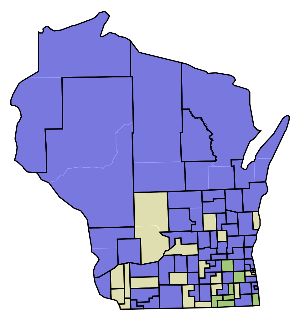
File:WI Assembly Partisan Map 1853.svg

Size of this PNG preview of this SVG file: 245 × 262 pixels. Other resolutions: 224 × 240 pixels | 449 × 480 pixels | 718 × 768 pixels | 958 × 1,024 pixels | 1,915 × 2,048 pixels.
Original file (SVG file, nominally 245 × 262 pixels, file size: 62 KB)
| This is a file from the Wikimedia Commons. Information from its description page there is shown below. Commons is a freely licensed media file repository. You can help. |
File history
Click on a date/time to view the file as it appeared at that time.
| Date/Time | Thumbnail | Dimensions | User | Comment | |
|---|---|---|---|---|---|
| current | 01:17, 4 September 2021 | | 245 × 262 (62 KB) | Asdasdasdff | fix jefferson county districts |
| 23:17, 25 August 2021 |  | 245 × 262 (61 KB) | Asdasdasdff | Uploaded own work with UploadWizard |
File usage
The following pages on the English Wikipedia use this file (pages on other projects are not listed):