
File:West Asia non political with water system.jpg

Size of this preview: 800 × 516 pixels. Other resolutions: 320 × 206 pixels | 640 × 413 pixels | 1,024 × 660 pixels | 1,280 × 826 pixels | 2,560 × 1,651 pixels | 5,948 × 3,836 pixels.
Original file (5,948 × 3,836 pixels, file size: 8.85 MB, MIME type: image/jpeg)
| This is a file from the Wikimedia Commons. Information from its description page there is shown below. Commons is a freely licensed media file repository. You can help. |
Summary
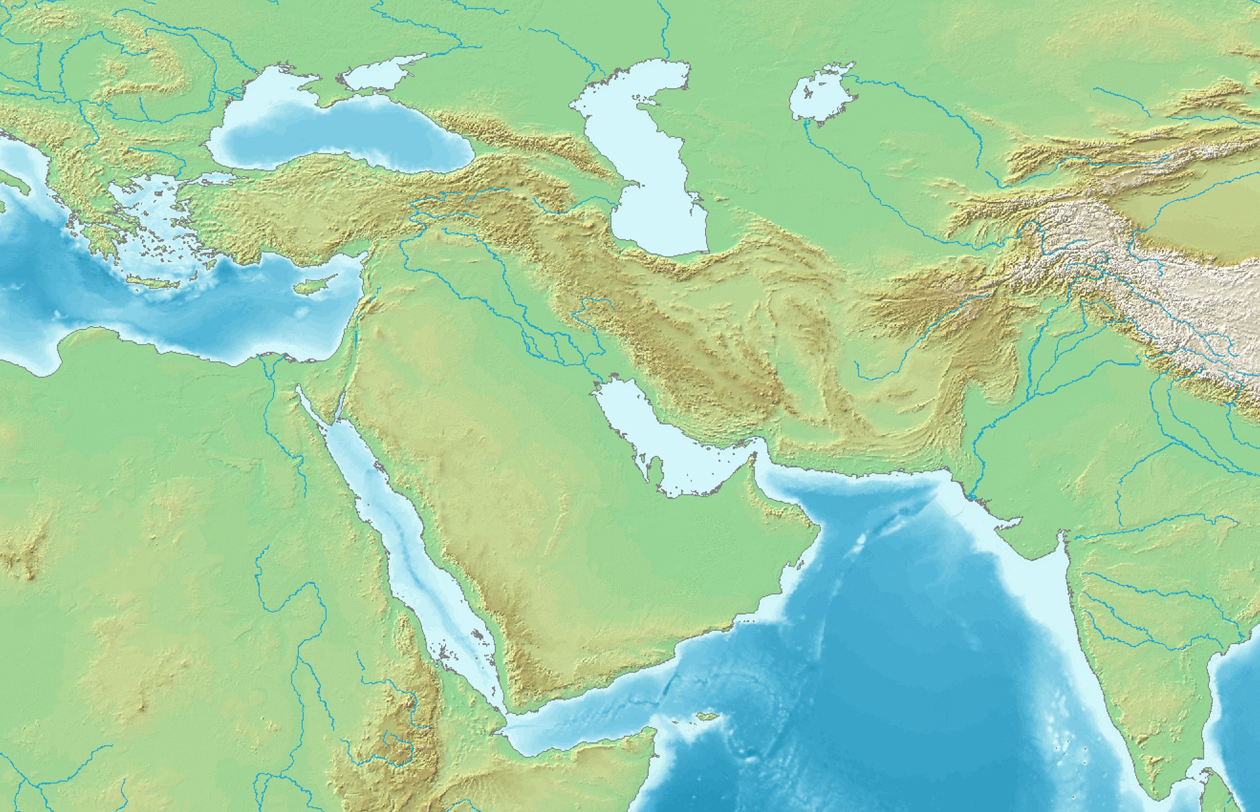
Topographic map 90deg, North latitude: 0 - 90, East longitude: 60 - 150
Topographic map 90deg, North latitude: 0 - 90, East longitude: 60 - 150
|
| ||||||||||||||||||||||||


| Description |
English: West Asia non political with water system |
| Date | |
| Source | Map created from DEMIS Mapserver, which are public domain. |
| Author | DEMIS Mapserver, पाटलिपुत्र |
Licensing

|
Permission is granted to copy, distribute and/or modify this document under the terms of the GNU Free Documentation License, Version 1.2 or any later version published by the Free Software Foundation; with no Invariant Sections, no Front-Cover Texts, and no Back-Cover Texts. A copy of the license is included in the section entitled GNU Free Documentation License. |
| This file is licensed under the Creative Commons Attribution-Share Alike 3.0 Unported license. | ||
| ||
| This licensing tag was added to this file as part of the GFDL licensing update. |
File history
Click on a date/time to view the file as it appeared at that time.
| Date/Time | Thumbnail | Dimensions | User | Comment | |
|---|---|---|---|---|---|
| current | 13:32, 12 July 2020 | | 5,948 × 3,836 (8.85 MB) | पाटलिपुत्र | Uploaded a work by DEMIS Mapserver, पाटलिपुत्र from Map created from [http://www2.demis.nl/mapserver/mapper.asp DEMIS Mapserver], which are public domain. with UploadWizard |
File usage
More than 100 pages use this file. The following list shows the first 100 pages that use this file only. A full list is available.
- Ai-Khanoum
- Al Ain
- Alexandria Eschate
- Aral Sea
- Arg-e Bam
- Assur
- Bactria
- Bahla Fort
- Baháʼí World Centre buildings
- Balakros
- Balasagun
- Balkh
- Battle of Corupedium
- Battle of Cunaxa
- Battle of Gabiene
- Battle of Gaugamela
- Battle of Gaza (312 BC)
- Battle of Ipsus
- Battle of Issus
- Battle of Kadesh
- Battle of Magnesia
- Battle of Nineveh (627)
- Battle of Paraitakene
- Battle of Pteria
- Battle of Salamis (306 BC)
- Battle of the Granicus
- Bazaar of Tabriz
- Behistun Inscription
- Berenice Troglodytica
- Bukhara
- Burana Tower
- Chogha Zanbil
- Dead Cities
- Doha International Airport
- Elulu
- Fann Mountains
- Fergana
- First Dynasty of Ur
- Fujairah International Airport
- Ghazni
- Golestan Palace
- Hatra
- Herat
- Heydar Aliyev International Airport
- Isfahan
- Issyk-Kul
- Itchan Kala
- Jebel Akhdar (Oman)
- Jebel Hafeet
- Kabul International Airport
- Kadisha Valley
- Kandahar
- Khiva
- Khujand
- Khwarazm
- King Fahd International Airport
- King Khalid International Airport
- Kulob
- Kunduz
- Kuwait City
- Kuwait International Airport
- Lashkargah
- Mausoleum at Halicarnassus
- Mazar-i-Sharif
- Mentor of Rhodes
- Merv
- Mosul
- Naqsh-e Jahan Square
- Nisa, Turkmenistan
- Nishapur
- Nizwa
- Palace of the Shirvanshahs
- Paphos
- Persepolis
- Prince Mohammad bin Abdulaziz International Airport
- Prophet's Mosque
- Ray, Iran
- Safa and Marwa
- Samarkand
- Seeb
- Shahrisabz
- Sheberghan
- Shibam
- Sidon
- Siege of Rhodes (305–304 BC)
- Siege of Tyre (332 BC)
- Sogdian Rock
- Sohar
- Susa
- Sust
- Svaneti
- Taif
- Tashkent
- Tel Hazor
- Tel Megiddo
- Termez
- Tokharistan
- Ur
- Zabol
- Ziwiye hoard
View more links to this file.
Global file usage
The following other wikis use this file:
- Usage on azb.wikipedia.org
- Usage on ban.wikipedia.org
- Usage on bcl.wikipedia.org
- Usage on bn.wikipedia.org
- Usage on fa.wikipedia.org
- مزار شریف
- لشکرگاه
- دریای خزر
- قندهار
- برج گنبد قابوس
- قندوز
- کویت (شهر)
- کوه جیس
- کوشانشاهان
- اکوره ختک
- گلگت
- فرودگاه بینالمللی حمد
- فرودگاه بینالمللی لنکران
- فرودگاه نخجوان
- فرودگاه بینالمللی گنجه
- فرودگاه گابالا
- ساریآرقا
- تپهنارنج
- فرودگاه آقتائو
- آرشام (ساتراپ کیلیکیه)
- ویکیپدیا:گزارش دیتابیس/مقالههای نیازمند پرونده همسنگ
- نبرد گرانیک
- ینگیکند (اغوز یبغو)
- بورانا (شهرستان چوی)
- نبرد پلوزیوم (۳۴۳ پیش از میلاد)
- گردیز گانش
- سلسله تراخان
- فرودگاه بینالمللی حضرت سلطان
- آقچهخانقلعه
- سامپول
- یخسار اولودوروک
- فرودگاه زابرات
- محاصره بخارا
- التنعیم
View more global usage of this file.