Meskheti Range
This article needs additional citations for verification. (February 2022) |
| Meskheti Range | |
|---|---|
 View of Meskheti Range near Abastumani, Georgia | |
| Highest point | |
| Peak | Mount Mepistskharo |
| Elevation | 2,850 m (9,350 ft) |
| Dimensions | |
| Length | 150 km (93 mi) |
| Geography | |
| Country | |
| Range coordinates | 41°50′26″N 42°39′47″E / 41.84056°N 42.66306°E |
| Parent range | Caucasus Mountains |
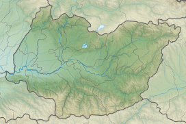
Meskheti Range (Georgian: მესხეთის ქედი) (Meskh/Meskhet/Meskhetian Range, Adzhar-Imereti Range, Achara-Imereti Range Adzhar-Akhaltsikh Range also Moschian Mountains) is a part of the Lesser Caucasus mountain range in Meskheti region, in southwestern Georgia.
Geography
The length of the range is 150 km and the highest point is
Acharis-Tsqali and Natanebi
.
Flora and fauna
The slopes of the Meskheti Range are rich in endemic and relic speciesalpine meadows.
Strabo mentions the Moschian Mountains as joining the Caucasus. (Geography, 11.2.1)
14% of Meskheti range territory is included in three Georgian national parks — Borjomi-Kharagauli, Kintrishi and Mtirala national parks.[1]
References
- ^ a b Levan Mumladze, Giorgi Chaladze, Zezva Asanidze, Salome Saghinadze, Ema Khachidze Refugial Forest from the Western Lesser Caucasus 2008
Wikimedia Commons has media related to Meskheti Range.


