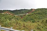
Sơn La province
Sơn La province
Tỉnh Sơn La | |
|---|---|
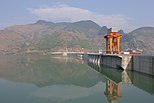
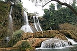
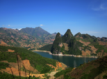
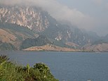
Mường La Mountain • Sơn La Dam • Dải Yếm Waterfall • Bản Phúc Mountain • Mộc Châu Mountain • Quỳnh Nhai Mountain pass • Pha Đin Mountain pass • Sơn La City | |
|
ICT) | |
| Area codes | 212 |
| ISO 3166 code | VN-05 |
| Website | www |
Sơn La (Vietnamese: [ʂəːn˧˧ laː˧˧] ⓘ) is a province nestled in the northwestern part of Vietnam, renowned for its stunning landscapes and rich cultural heritage. The province is characterized by rolling hills, lush valleys, and terraced rice fields that paint a mesmerizing tapestry of green hues. Home to diverse ethnic communities, including the Thai, H'Mong, and Muong people, Son La showcases a vibrant mosaic of traditions and customs.
hydroelectric power station in Southeast Asia.[6]
is located in this province.
Administrative divisions

Sơn La is subdivided into 12 district-level sub-divisions and 204 commune-level sub-divisions:
| Administrative divisions of Sơn La | ||||||||||||||||||||||||||||||||||||||||||||||||||||||||||||||||||
|---|---|---|---|---|---|---|---|---|---|---|---|---|---|---|---|---|---|---|---|---|---|---|---|---|---|---|---|---|---|---|---|---|---|---|---|---|---|---|---|---|---|---|---|---|---|---|---|---|---|---|---|---|---|---|---|---|---|---|---|---|---|---|---|---|---|---|
|
|
|||||||||||||||||||||||||||||||||||||||||||||||||||||||||||||||||
See also
References
- ^ "Phê duyệt và công bố kết quả thống kê Area đất đai của cả nước năm 2018" [Announcements of area statistics for the whole country in 2018]. Act No. 2908/QĐ-BTNMT of November 13, 2019 (in Vietnamese). Ministry of Natural Resources and Environment (Vietnam). - the data in the report are in hectares, rounded to integers
- ^ "STATISTICAL YEARBOOK 2019". General Statistics Office of Vietnam. 2020-06-30.
- ^ ISBN 978-604-75-1532-5.
- ^ Also called Kinh people
- ^ "Tình hình kinh tế, xã hội Sơn La năm 2018". Cục Thống kê tỉnh Sơn La. Retrieved 10 May 2020.
- ^ "Huge hydro plant starts operation in Vietnam, says official". Intellasia News Services. 2010-12-22. Retrieved 2011-01-22.
External links


