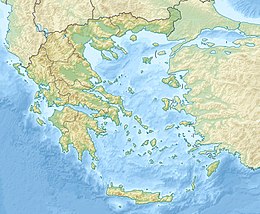
Smolikas
| Smolikas | |
|---|---|
| Σμόλικας Smolcu | |
Ultra | |
| Coordinates | 40°05′23″N 20°55′34″E / 40.08972°N 20.92611°E[1] |
| Geography | |
| Location | Northwest central Greece |
| Parent range | Pindus Mountains |
Mount Smolikas (
to the northeast.
The higher elevations, above 2,000 metres, consist of grasslands and rocks, and there are deciduous and conifer forests at lower elevations. The mountain lies completely within the municipality of Konitsa, the main villages around the mountain being Agia Paraskevi to the north, and Palaioselli, Pades and Armata to the south. The town Konitsa lies 15 km southwest of Smolikas. The Greek National Road 20 (Kozani - Siatista - Konitsa - Ioannina) passes west of the mountain.
References
- ^ a b c "Europe Ultra-Prominences". Peaklist.org. Retrieved 2012-02-19.
- ^ Hughes PD, Woodward JC, Gibbard PL (2006). "The last glaciers of Greece". Zeitschrift für Geomorphologie. 50: 37–61.
External links
Wikimedia Commons has media related to Smolikas.

