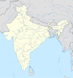
Sonai Rupai Wildlife Sanctuary
| Sonai Rupai Wildlife Sanctuary | |
|---|---|
| Assamese: সোনাই ৰূপাই অভয়াৰণ্য | |
IUCN category IV (habitat/species management area) | |
| Location | Assam, India |
| Nearest city | Tezpur |
| Coordinates | 26°53′39″N 92°20′45″E / 26.89417°N 92.34583°E |
| Area | 175 sq. km |
| Established | 1998 |
| Governing body | Department of Environment & Forests, Assam |
Sonai Rupai Wildlife Sanctuary is a
wildlife sanctuary covers 175 km2.[1][2] It is located along the foothills of the Great Himalayan Range. The area was declared as a sanctuary in 1998. It is located 52 km from Tezpur town and 193 km away from Guwahati. Four rivers flow through the sanctuary: Gabharu, Gelgeli, Sonai and Rupai.[3]
Biodiversity
Mammals: tiger, lesser cats, elephant,
barking deer.[4]
Birds:
, and various migratory birds.Reptiles: python, Russell's viper.
See also
References
- ^ enajori.com. "Sonai Rupai Wildlife Sanctuary". enajori.com. Retrieved 2 June 2013.
- ^ "Sonai Rupai Wildlife Sanctuary in Assam". Assamspider.com. 31 October 2011. Retrieved 2 June 2013.
- ^ "BirdLife Data Zone". datazone.birdlife.org. Retrieved 2 July 2021.
- ^ Wahid Saleh. "Indiawijzer". Indiawijzer.nl. Retrieved 2 June 2013.
External links
- Sonai Rupai Wildlife Sanctuary at assaminfo.com.
- Sonai Rupai Wildlife Sanctuary at Tour Travel World.com


