
Uploads by Kbh3rd
This special page shows all files uploaded to the English Wikipedia. (See also the list for Wikimedia Commons.) By default, the last uploaded files are shown at top of the list, but clicking on a column header will change the sorting.
Deleted files are not shown here but are included in the upload log.
| Date | Name | Thumbnail | Size | Description |
|---|---|---|---|---|
| 07:21, 29 October 2019 | Missouri Courthouses photo status Kbh3rd.png (file) |  |
598 KB | try to fix scaling for imagemap |
| 16:58, 24 March 2011 | Crowleys Ridge Scenic Byway AR sign.jpg (file) |  |
40 KB | {{Non-free use rationale |Article = Crowley's Ridge Parkway |Description = Route marker sign for Crowley's Ridge Parkway in Arkansas |Source = Photographed by Kbh3rd in Jonesboro, AR |Low_resolution = Yes |
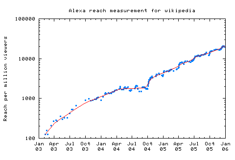
| 05:17, 8 February 2006 | Alexa reach measurement for wikipedia.png (file) |  |
3 KB | Updated through end of 2005 |
| 05:16, 8 February 2006 | Alexa reach measurement for wikipedia-logscale.png (file) |  |
3 KB | Updated through end of 2005 |
| 16:24, 23 December 2005 | Meades ranch.png (file) |  |
5 KB | Updated with color suggestions from Wikipedia talk:WikiProject Maps |
| 18:31, 16 December 2005 | Cavers-MushroomCave-May04-a.jpg (file) |  |
48 KB | '''Description''': Amateur cavers in a low spot. '''Source''': Photographed by ~~~ in May of 2004. |
| 02:33, 26 August 2005 | More specific Usenet posts containing the word Wikipedia.png (file) |  |
4 KB | Updated |
| 02:23, 26 August 2005 | Google News stories mentioning Wikipedia.png (file) |  |
2 KB | Updated |
| 02:22, 26 August 2005 | Google Answers using Wikipedia.png (file) |  |
3 KB | Updated |
| 02:21, 26 August 2005 | Wikipedia-onthe-web.png (file) |  |
3 KB | Updated August 25 2005 |
| 07:38, 28 December 2004 | Sixteen Tons.jpg (file) |  |
18 KB | Tennessee Ernie Ford album cover {{albumcover}} |
| 05:44, 11 December 2004 | Crowleys Ridge relief.jpg (file) |  |
26 KB | Crowley's Ridge in shaded relief |
| 03:03, 7 December 2004 | Usenet posts containing the word Wikipedia.png (file) |  |
3 KB | thru Nov. 2004 |
| 01:00, 3 December 2004 | Crooked Creek crater DOQ.jpg (file) |  |
103 KB | This image shows the terrain of the Crooked Creek crater site in Crawford County, Missouri. |
| 00:54, 3 December 2004 | Crooked Creek crater DEM.jpg (file) |  |
40 KB | The Crooked Creek crater topology in a shaded-relief view. |
| 02:40, 1 December 2004 | Shaw Nature Preserve topo1.jpg (file) |  |
158 KB | This topographic map shows the location and layout of Shaw Nature Reserve in Gray Summit, Missouri. |
| 04:43, 30 July 2004 | Fort Randall Military Post.jpg (file) |  |
25 KB | {{PD-US}} Historic photo of Fort Randall Military Post in South Dakota |