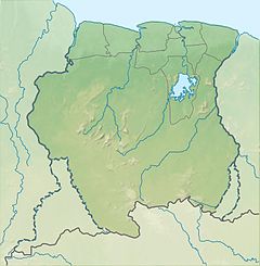
Tapanahony River
| Tapanahony River | |
|---|---|
 1905 map of the Tapanahoni River | |
| Location | |
| Country | Suriname |
| District | Sipaliwini District |
| Physical characteristics | |
| Source | |
| • location | Eilerts de Haan Mountains |
| • coordinates | 2°34′05″N 55°57′21″W / 2.5681°N 55.9558°W |
Marowijne River→Atlantic Ocean | |
The Tapanahony River (sometimes called Tapanahoni) is a major river in the south eastern part of
Marowijne River at a place called Stoelmanseiland. Upstream, there are many villages inhabited by Indian Tiriyó people, while further downstream villages are inhabited by the Amerindian Wayana and Maroon Ndyuka people
.
Villages along the river
Inhabited by Tiriyó
- Aloepi 1 & 2
- Palumeu
- Pelelu Tepu
Inhabited by Ndyuka
Inhabited by Wayana
References
- ^ "Bzzlletin. Jaargang 5". Digital Library for Dutch Literature (in Dutch). 1976–1977. Retrieved 25 June 2020.
Bibliography
- Bruijning, Conrad Friederich Albert; Voorhoeve, Jan (1977). Encyclopedie van Suriname. Amsterdam: ISBN 90-10-01842-3.

