
Botlek

The Botlek originally was the name of a stretch of the
Het Scheur formed the Brielse Maas estuary (now the Brielse Meer
).
Major waterway regulation works were carried out in the Netherlands in the 19th and 20th centuries to improve water management and stop the delta from silting up; the Botlek was dammed off at its southern end (connecting Rozenburg and Welplaat) and remodelled into one of the largest of the Rotterdam seaports (see also Europoort).
Gallery
-
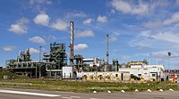
 Shin Etsu (vinyl chloride monomer production plant)
 -
 Air Products (factory for producing industrial gases and chemicals)
 -
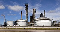 Storage tanks from Esso refinery
_IMG_2507_2022-07-11_12.34.jpg)
_IMG_2515_2022-07-11_12.48.jpg)
