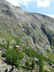
Europa Hut


The Europa Hut (
Dom
.
The Europaweg is badly affected by unstable terrain; the entire path is prone to rockfalls and sections are sometimes closed. The section between the Europahütte and Zermatt reopened on 4 July 2010 with the construction of a 230-metre suspension bridge over the Grabengufer ravine, but this has since been closed due to the risk of falling rocks.Charles Kuonen Bridge is the second-longest hanging pedestrian bridge in the world. The bridge is located around 500 metres southwest of the hut.
