
File:49 Quinte Skyway.png

Size of this preview: 800 × 600 pixels. Other resolutions: 320 × 240 pixels | 640 × 480 pixels | 1,024 × 768 pixels | 1,280 × 960 pixels | 2,560 × 1,920 pixels | 2,816 × 2,112 pixels.
Original file (2,816 × 2,112 pixels, file size: 5.44 MB, MIME type: image/png)
Summary
| Description |
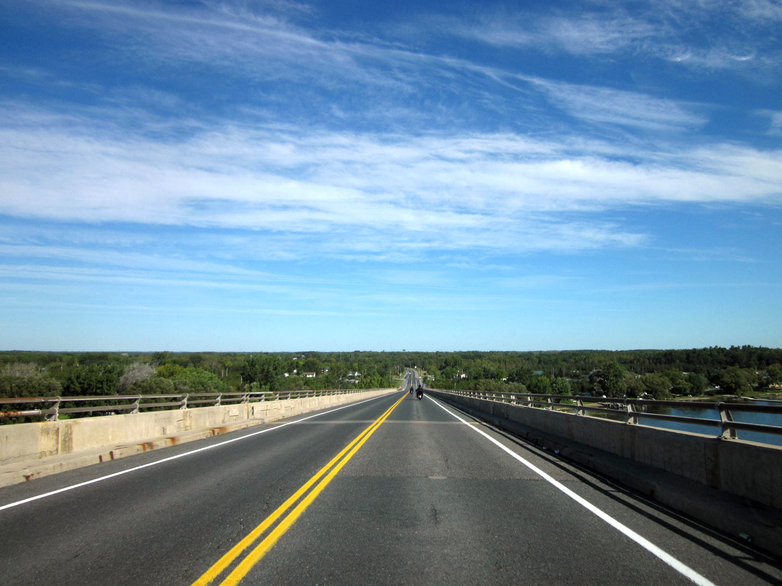
Ontario Highway 49 as it descends the Quite Skyway into Hastings County. |
|---|---|
| Source |
King's Highway 49; colour corrections in Irfanview 4.28 |
| Date |
September 11, 2011 |
| Author | |
| Permission (Reusing this file) |
See below.
|
| The uploader or another editor requests that a local copy of this file be kept. This image or media file may be available on the deletion, notify the tagging editor. |
Licensing
| This work is licensed under the Creative Commons Attribution-ShareAlike 3.0 License. |
File history
Click on a date/time to view the file as it appeared at that time.
| Date/Time | Thumbnail | Dimensions | User | Comment | |
|---|---|---|---|---|---|
| current | 21:21, 25 October 2011 | | 2,816 × 2,112 (5.44 MB) | Floydian (talk | contribs) | {{Information |Description=Ontario Highway 49 as it descends the Quite Skyway into Hastings County. |Source=[http://www.flickr.com/photos/dougtone/6170970542/in/set-72157627723866788/ King's Highway 49]; colour corrections in Irfanview 4.28 |D |
You cannot overwrite this file.
File usage
The following file is a duplicate of this file (more details):
- File:49 Quinte Skyway.png from Commons
The following pages on the English Wikipedia use this file (pages on other projects are not listed):