
File:Medstead map 1881.png

Size of this preview: 800 × 390 pixels. Other resolutions: 320 × 156 pixels | 640 × 312 pixels | 1,024 × 499 pixels | 1,633 × 796 pixels.
Original file (1,633 × 796 pixels, file size: 1.62 MB, MIME type: image/png)
Summary
| Description |
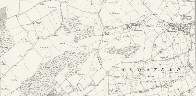
English: A map showing the Medstead parish in 1881. |
|---|---|
| Source |
Old Maps, Ordnance Survey |
| Date |
style="background: #EEE; vertical-align: middle; white-space: nowrap; text-align: center; " class="table-Unknown" | date???-??-1881 or 71 |
| Author |
Ordnance Survey |
| Permission (Reusing this file) |
See below.
|
Licensing
| This image is in the public domain in the United States. In most cases, this means that it was first published prior to January 1, 1929 (see the template documentation for more cases). Other jurisdictions may have other rules, and this image might not be in the public domain outside the United States. See Wikipedia:Public domain and Wikipedia:Copyrights for more details. |
File history
Click on a date/time to view the file as it appeared at that time.
| Date/Time | Thumbnail | Dimensions | User | Comment | |
|---|---|---|---|---|---|
| current | 17:38, 5 September 2018 | | 1,633 × 796 (1.62 MB) | B (talk | contribs) | File is public domain - no need to reduce the size |
BOT - disable ) | |||||
File Upload Wizard |
You cannot overwrite this file.
File usage
The following pages on the English Wikipedia use this file (pages on other projects are not listed):