
File:Tsentralna Rada building.JPG

Size of this preview: 800 × 600 pixels. Other resolutions: 320 × 240 pixels | 640 × 480 pixels | 1,024 × 768 pixels | 1,280 × 960 pixels | 2,048 × 1,536 pixels.
Original file (2,048 × 1,536 pixels, file size: 557 KB, MIME type: image/jpeg)
| This is a file from the Wikimedia Commons. Information from its description page there is shown below. Commons is a freely licensed media file repository. You can help. |
| Camera location | | View this and other nearby images on: OpenStreetMap |
|---|
| Description |
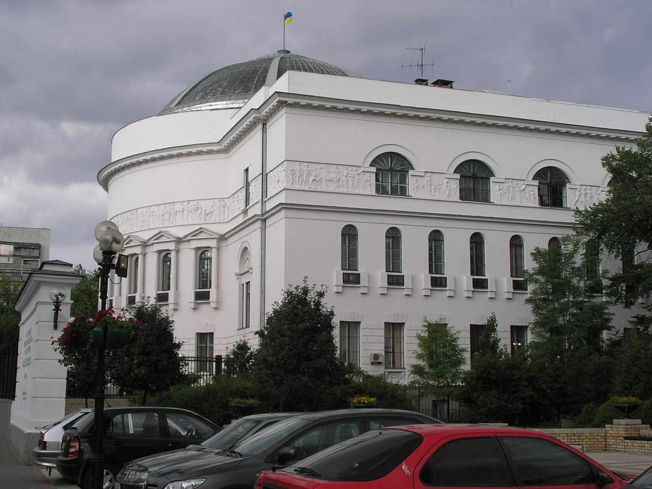
English: The meeting place of the Ukrainian Ukraine . |
| Date | |
| Source | Own work |
| Author | Dima Sergiyenko; Please attribute this image as the work of "DiscoverWithDima." |
| Permission (Reusing this file) |
This file is licensed under the Creative Commons Attribution-Share Alike 4.0 International license. Attribution: DiscoverWithDima
|
File history
Click on a date/time to view the file as it appeared at that time.
| Date/Time | Thumbnail | Dimensions | User | Comment | |
|---|---|---|---|---|---|
| current | |Permission={{PD-user|DDima}} | |
File usage
The following pages on the English Wikipedia use this file (pages on other projects are not listed):
Global file usage
The following other wikis use this file:
- Usage on de.wikipedia.org
- Usage on it.wikipedia.org
- Usage on nl.wikipedia.org
- Usage on pl.wikipedia.org
- Usage on ro.wikipedia.org
- Usage on sr.wikipedia.org
- Usage on uk.wikipedia.org
- Користувач:Alex Blokha/Події в Вікіпедії/23 червня
- Користувач:Alex Blokha/Події в Вікіпедії/28 червня
- Користувач:Alex Blokha/Події в Вікіпедії/3 липня
- Користувач:Alex Blokha/Події в Вікіпедії/14 липня
- Користувач:Alex Blokha/Події в Вікіпедії/18 серпня
- Користувач:Alex Blokha/Події в Вікіпедії/22 серпня
- Користувач:Alex Blokha/Події в Вікіпедії/28 вересня
- Користувач:Alex Blokha/Події в Вікіпедії/11 листопада
- Користувач:Alex Blokha/Події в Вікіпедії/25 листопада
- Користувач:Alex Blokha/Події в Вікіпедії/17 грудня
- Користувач:Alex Blokha/Події в Вікіпедії/25 грудня
- Користувач:Alex Blokha/Події в Вікіпедії/30 грудня
- Користувач:Alex Blokha/Події в Вікіпедії/20 січня
- Користувач:Alex Blokha/Події в Вікіпедії/24 січня
- Користувач:Alex Blokha/Події в Вікіпедії/25 січня
- Користувач:Alex Blokha/Події в Вікіпедії/30 січня
- Користувач:Alex Blokha/Події в Вікіпедії/31 січня
- Користувач:Alex Blokha/Події в Вікіпедії/9 лютого
- Користувач:Alex Blokha/Події в Вікіпедії/1 березня
- Користувач:Alex Blokha/Події в Вікіпедії/22 березня
- Користувач:Alex Blokha/Події в Вікіпедії/27 березня
- Користувач:Alex Blokha/Події в Вікіпедії/19 квітня
- Користувач:Alex Blokha/Події в Вікіпедії/21 квітня
- Користувач:Alex Blokha/Події в Вікіпедії/27 квітня
- Користувач:Alex Blokha/Події в Вікіпедії/28 квітня
- Користувач:Alex Blokha/Події в Вікіпедії/29 квітня
- Користувач:Alex Blokha/Події в Вікіпедії/6 травня
- Користувач:Alex Blokha/Події в Вікіпедії/15 червня
- Користувач:Alex Blokha/Події в Вікіпедії/16 червня
- Мала Рада
- Користувач:Alex Blokha/Дні згадані в Вікіпедії/Україна/7 листопада
- Користувач:Alex Blokha/Дні згадані в Вікіпедії/Україна/11 листопада
- Користувач:Alex Blokha/Дні згадані в Вікіпедії/Україна/15 листопада
- Користувач:Alex Blokha/Дні згадані в Вікіпедії/Україна/20 листопада
- Користувач:Alex Blokha/Дні згадані в Вікіпедії/Україна/25 листопада
- Користувач:Alex Blokha/Дні згадані в Вікіпедії/Україна/17 грудня
- Користувач:Alex Blokha/Дні згадані в Вікіпедії/Україна/25 грудня
- Користувач:Alex Blokha/Дні згадані в Вікіпедії/Україна/30 грудня
- Користувач:Alex Blokha/Дні згадані в Вікіпедії/Україна/20 січня
- Користувач:Alex Blokha/Дні згадані в Вікіпедії/Україна/22 січня
- Користувач:Alex Blokha/Дні згадані в Вікіпедії/Україна/24 січня
- Користувач:Alex Blokha/Дні згадані в Вікіпедії/Україна/25 січня
- Користувач:Alex Blokha/Дні згадані в Вікіпедії/Україна/29 січня
- Користувач:Alex Blokha/Дні згадані в Вікіпедії/Україна/30 січня
View more global usage of this file.