
Gleichen, Alberta
Gleichen | |
|---|---|
587, 825 |
Gleichen
History
It was named after Lord Edward Gleichen in 1884.[4] Gleichen was originally incorporated as a village on January 24, 1899 and then incorporated as a town on May 6, 1910. After nearly 100 years as a municipality however, Gleichen dissolved to hamlet status under the jurisdiction of Wheatland County on March 31, 1998.[5]
During the formation of the province, Gleichen was large enough to have its own seat in the Legislative Assembly of Alberta (see Gleichen provincial electoral district). Its population peaked at 668 according to the Canada 1921 Census.
Due to its proximity to the railroad, Gleichen was readily accessible to farmers and ranchers living in the area. Its mostly wooden structures however posed an increased risk of widespread fires. After the community burned a second time in 1912, many of its residents moved elsewhere, mostly to Calgary.
Climate
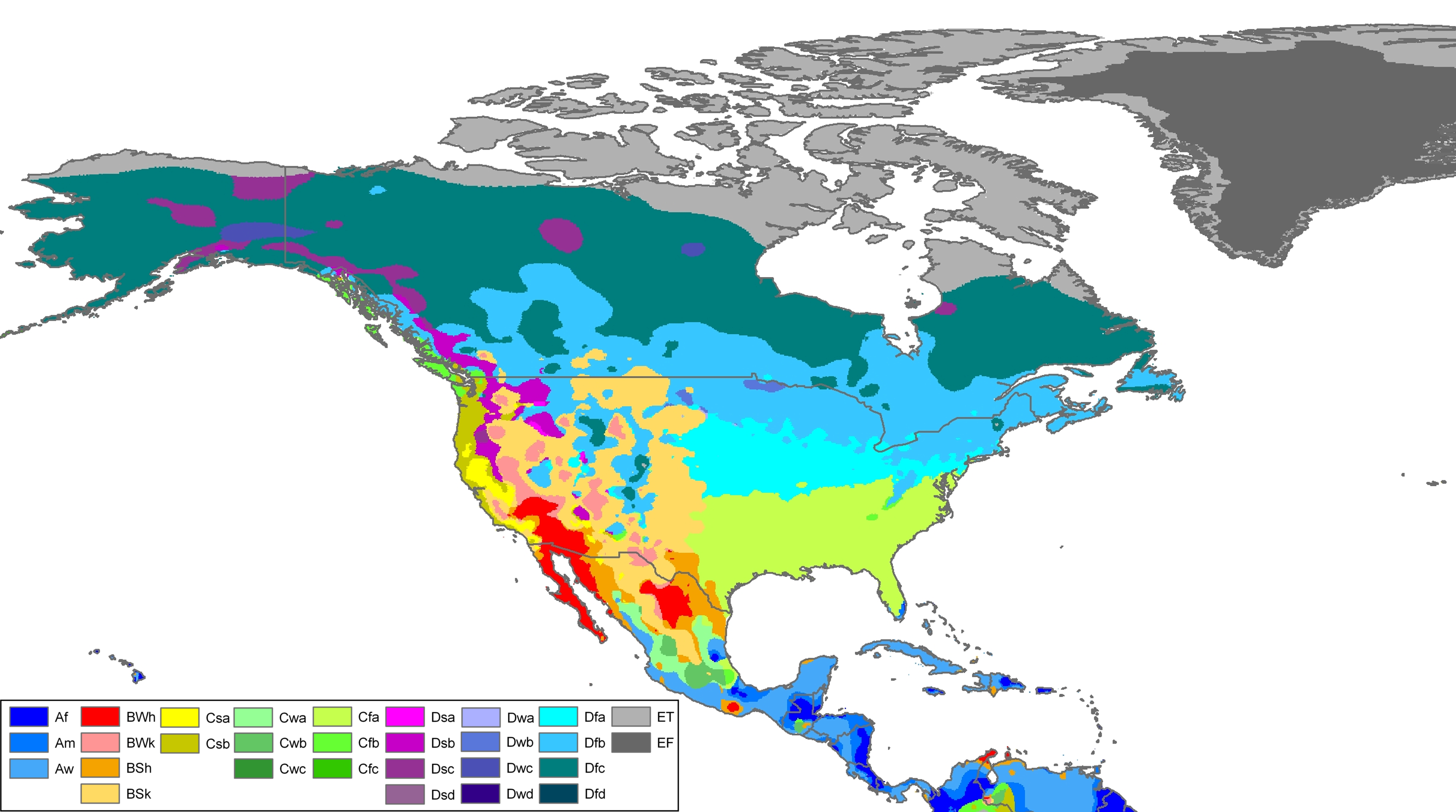
Gleichen experiences a semi-arid climate (Köppen BSk).[6] Winters are long, dry and cold, while summers are short and warm. Precipitation is usually scant, with an annual mean of 336 millimetres (13.2 in).
| Climate data for Gleichen, Alberta | |||||||||||||
|---|---|---|---|---|---|---|---|---|---|---|---|---|---|
| Month | Jan | Feb | Mar | Apr | May | Jun | Jul | Aug | Sep | Oct | Nov | Dec | Year |
| Record high °C (°F) | 16.7 (62.1) |
22.0 (71.6) |
26.5 (79.7) |
31.1 (88.0) |
35.0 (95.0) |
37.2 (99.0) |
37.8 (100.0) |
37.8 (100.0) |
35.0 (95.0) |
31.0 (87.8) |
25.0 (77.0) |
21.7 (71.1) |
37.8 (100.0) |
| Mean daily maximum °C (°F) | −3.4 (25.9) |
−0.1 (31.8) |
4.3 (39.7) |
12.5 (54.5) |
17.8 (64.0) |
21.6 (70.9) |
24.6 (76.3) |
24.7 (76.5) |
18.8 (65.8) |
12.6 (54.7) |
2.4 (36.3) |
−2.8 (27.0) |
11.1 (52.0) |
| Daily mean °C (°F) | −9.4 (15.1) |
−6.3 (20.7) |
−1.9 (28.6) |
5.2 (41.4) |
10.4 (50.7) |
14.5 (58.1) |
17.0 (62.6) |
16.6 (61.9) |
11.1 (52.0) |
5.2 (41.4) |
−3.3 (26.1) |
−8.6 (16.5) |
4.2 (39.6) |
| Mean daily minimum °C (°F) | −15.4 (4.3) |
−12.5 (9.5) |
−8.1 (17.4) |
−2 (28) |
3.0 (37.4) |
7.3 (45.1) |
9.4 (48.9) |
8.5 (47.3) |
3.4 (38.1) |
−2.2 (28.0) |
−9.1 (15.6) |
−14.3 (6.3) |
−2.7 (27.1) |
| Record low °C (°F) | −46.7 (−52.1) |
−47.2 (−53.0) |
−38.9 (−38.0) |
−26.7 (−16.1) |
−11.1 (12.0) |
−2.8 (27.0) |
0.0 (32.0) |
−3.5 (25.7) |
−12.8 (9.0) |
−28 (−18) |
−36.5 (−33.7) |
−43.3 (−45.9) |
−47.2 (−53.0) |
| Average precipitation mm (inches) | 9.2 (0.36) |
7.8 (0.31) |
16.4 (0.65) |
20.0 (0.79) |
45.3 (1.78) |
64.1 (2.52) |
57.1 (2.25) |
44.5 (1.75) |
43.2 (1.70) |
11.2 (0.44) |
9.9 (0.39) |
8.8 (0.35) |
337.6 (13.29) |
| Average rainfall mm (inches) | 0.0 (0.0) |
0.0 (0.0) |
1.8 (0.07) |
13.5 (0.53) |
40.1 (1.58) |
64.1 (2.52) |
57.1 (2.25) |
44.5 (1.75) |
42.2 (1.66) |
6.8 (0.27) |
1.8 (0.07) |
0.3 (0.01) |
273.3 (10.76) |
| Average snowfall cm (inches) | 9.0 (3.5) |
8.0 (3.1) |
15.0 (5.9) |
7.0 (2.8) |
5.0 (2.0) |
0.0 (0.0) |
0.0 (0.0) |
0.0 (0.0) |
1.0 (0.4) |
4.0 (1.6) |
8.0 (3.1) |
9.0 (3.5) |
65.0 (25.6) |
| Source: Environment Canada[7]
| |||||||||||||
Demographics
In the 2021 Census of Population conducted by Statistics Canada, Gleichen had a population of 314 living in 139 of its 168 total private dwellings, a change of -3.1% from its 2016 population of 324. With a land area of 1.42 km2 (0.55 sq mi), it had a population density of 221.1/km2 (572.7/sq mi) in 2021.[1]
As a designated place in the 2016 Census of Population conducted by Statistics Canada, Gleichen had a population of 324 living in 137 of its 172 total private dwellings, a change of -3.6% from its 2011 population of 336. With a land area of 1.45 km2 (0.56 sq mi), it had a population density of 223.4/km2 (578.7/sq mi) in 2016.[8]
See also
- List of communities in Alberta
- List of designated places in Alberta
- List of former urban municipalities in Alberta
- List of hamlets in Alberta
References
- ^ a b c "Population and dwelling counts: Canada and designated places". Statistics Canada. February 9, 2022. Retrieved February 10, 2022.
- Alberta Municipal Affairs. January 12, 2022. Retrieved January 21, 2022.
- ^ "Alberta Private Sewage Systems 2009 Standard of Practice Handbook: Appendix A.3 Alberta Design Data (A.3.A. Alberta Climate Design Data by Town)" (PDF) (PDF). Safety Codes Council. January 2012. pp. 212–215 (PDF pages 226–229). Archived from the original (PDF) on October 16, 2013. Retrieved October 9, 2013.
- ^ Lindman, Doris (February 3, 2010). "Siding #12 brings settlers west". Strathmore Standard. Retrieved August 1, 2013.
- ^ "Order in Council 61/98" (PDF). Province of Alberta. February 25, 1998. Retrieved October 10, 2015.
- ^ Köppen climate classification map of North America (University of Melbourne)
- ^ "Gleichen, Alberta". Canadian Climate Normals 1981–2010 (in English and French). Environment Canada. October 31, 2011. Retrieved August 8, 2014.
- ^ "Population and dwelling counts, for Canada, provinces and territories, and designated places, 2016 and 2011 censuses – 100% data (Alberta)". Statistics Canada. February 8, 2017. Retrieved February 13, 2017.