Montagne d'Argent
| Montagne d'Argent | |
|---|---|
IUCN category IV (habitat/species management area) | |
 Penal colony Montagne d'Argent | |
| Location | French Guiana |
| Nearest city | Ouanary |
| Coordinates | 4°23′31″N 51°41′45″W / 4.39194°N 51.69583°W |
| Area | 7.13 km2 (2.75 sq mi)[1] |
| Established | 1998 |
| Governing body | Conservatoire du littoral |
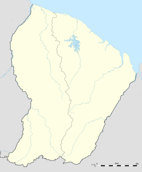
The Montagne d'Argent or Monte Prata (meaning silver mountain) is a hill in northeast
Oyapock River. In 1998, the mountain is protected by Conservatoire du littoral, because 22 petroglyphs had been discovered in the mountain.[2] The hill rises to a height of 132 metres (433 ft).[3]
In 1852, a penal colony was established on a former coffee plantation, and was the first agricultural penal colony.[4] The colony was finally closed in 1910, and was an economic failure with many prisoners dying or becoming ill.[4]
References
- ^ "Montagne D'Argent". Protected Planet. Retrieved 25 March 2021.
- ^ "MONTAGNE D'ARGENT - Conservatoire du littoral". Conservatoire du littoral (in French). Retrieved 5 June 2020.
- ^ "Carte IGN classique". Geoportail (in French). Retrieved 26 March 2021.
- ^ a b "« Le bagne de la mort ». Culture du café et situation sanitaire au pénitencier agricole de la Montagne d'Argent (Guyane française) de 1852 à 1910". Academia.edu (in French). Retrieved 5 June 2020.

