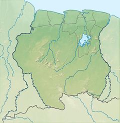
Nickerie River
| Nickerie River | |
|---|---|
 Bridge near Groot Henar | |
| Location | |
| Country | Suriname |
| District | Nickerie District |
| Physical characteristics | |
| Source | |
| • location | Bakhuis Mountains |
| • coordinates | 4°16′44″N 56°58′09″W / 4.2790°N 56.9693°W |
| Mouth | Atlantic Ocean |
• coordinates | 5°58′10″N 57°00′56″W / 5.96944°N 57.01556°W |
The Nickerie River is a river in the northwestern part of Suriname.
The river originates in the
Nieuw-Nickerie. The Blanche Marie Falls
are located on the river.
There is a bridge near Groot Henar that is part of the Northern East-West Link.[1] Another, more basic bailey bridge was built near Kamp 52 on the Southern East-West Link.[2]
References
- Nickerie article from the Dutch Wikipedia, version on 22 April 2006

