Nieuwmarkt
Appearance
This article needs additional citations for verification. (November 2011) |
 The square with the Waag in 2020 | |
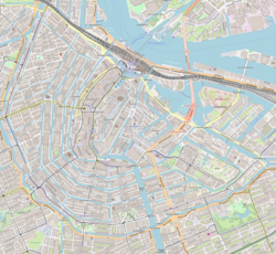
Location in Amsterdam-Centrum | |
| Location | Centrum, Amsterdam, Netherlands |
|---|---|
| Nearest metro station | Nieuwmarkt |
| Coordinates | 52°22′21″N 4°54′02″E / 52.37250°N 4.90056°E |

Nieuwmarkt (Dutch pronunciation: [ˈniuˌmɑr(ə)kt]; English: New Market) is a square in the centre of Amsterdam, Netherlands. The surrounding area is known as the Lastage neighborhood. It is situated in the borough of Amsterdam-Centrum.
The square is considered part of Amsterdam's
coffeeshops
facing the square. There is a daily market on the square, as well as an organic food market on Saturdays and a market for antiques and books on Sundays in the summer months.
The Nieuwmarkt is dominated by a building known as the
Jews who had been rounded up to be sent to the concentration camps.[1]
In the 1970s many buildings on and around the square were torn down to make way for a planned metro and highway which was to run right through the Nieuwmarkt neighbourhood. This led to heavy rioting, known as the
Amsterdam metro
(subway) system.
References
- ^ ISBN 978-1-84836-882-8.

