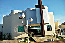
Paranaíba
Paranaíba | |
|---|---|
| The Municipality of Paranaíba | |
 | |
|
UTC−4 (AMT) | |
| HDI (2000) | 0.772 – medium[2] |
| Website | www.paranaiba.ms.gov.br/ |
Paranaíba is the easternmost
Brazilian state of Mato Grosso do Sul
. Its population was 42,276 (2020) and its area is 5,402.778 km2.
References
Wikimedia Commons has media related to Paranaíba.
