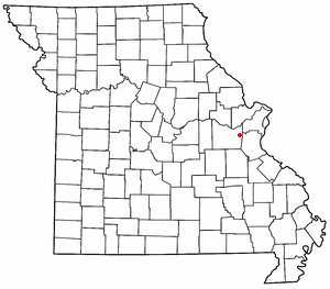
Robertsville, Missouri

Robertsville is an
History
A post office called Robertsville has been in operation since 1859.[4] The community was laid out by Edward James Roberts and named after him.[5]
On December 31, 2010, an EF2 tornado devastated Robertsville.[6]
References
- ^ U.S. Geological Survey Geographic Names Information System: Robertsville, Missouri
- ISBN 0899332242
- ^ Missouri State Parks
- ^ "Post Offices". Jim Forte Postal History. Retrieved September 30, 2016.
- ^ "Franklin County Place Names, 1928–1945 (archived)". The State Historical Society of Missouri. Archived from the original on June 24, 2016. Retrieved September 30, 2016.
{{cite web}}: CS1 maint: bot: original URL status unknown (link) - ^ "New Years Eve Tornado Outbreak". National Weather Service. Retrieved April 11, 2014.
38°24′53″N 90°48′50″W / 38.41472°N 90.81389°W

