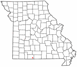
Rueter, Missouri
Appearance

Rueter is an extinct town in southeastern
Micropolitan Statistical Area
.
A post office called Rueter was established in 1906.[3] A variant spelling was "Reuter".[1] One Mr. Reuter, an early postmaster, gave the community his last name.[4]
References
- ^ a b U.S. Geological Survey Geographic Names Information System: Rueter
- ^ Protem. Missouri, 7.5 Minute Topographic Quadrangle, USGS, 1968
- ^ "Post Offices". Jim Forte Postal History. Retrieved December 27, 2016.
- ^ "Taney County Place Names, 1928–1945". The State Historical Society of Missouri. Archived from the original on June 24, 2016. Retrieved December 27, 2016.
36°36′30″N 92°52′09″W / 36.60833°N 92.86917°W

