
Al Batinah Region
Al Batinah | ||
|---|---|---|
Capital Sohar | | |
| Area | ||
| • Total | 12,500 km2 (4,800 sq mi) | |
| Population (2010 census) | ||
| • Total | 772,590 | |
| • Density | 62/km2 (160/sq mi) | |
Al-Bāţinah (
regions (Mintaqat) of Oman. On 28 October 2011, Al-Batinah Region was bifurcated into Al Batinah North Governorate and Al Batinah South Governorate.[2][3][4]
The region occupied an important location on the coast of Gulf of Oman. It lay between Khatmat Malahah in the north and Ras al-Hamra in the south, and confined between Al-Hajar Mountains in the west and the Gulf of Oman in the east. Most of Oman's population were in that region, because of the green plains between the Hajar Mountains and the sea.
Provinces
Al Batinah Region contained the largest number of
wilayat
), numbering twelve 12:
- Sohar
- Ar Rustaq
- Shinas,
- Liwa
- Saham
- Al-Khaburah
- Suwayq
- Nakhal
- Wadi Al Maawil
- Al Awabi
- Al-Musannah
- Barka
mosques
.
Historic maps of Oman showing Batinah
-
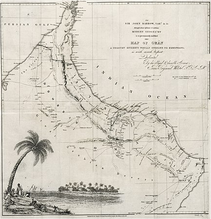 1838: BATINA
 -
 1873
1873 -
 1879
1879
_p1.027_MAP_OF_OMAN_(retouched).jpg)
.jpg)
.jpg)
See also
- Oman proper
- Tawam (region)
References
- ISBN 978-1-3172-9164-0.
- ^ Governorates of Sultanate Of Oman Archived 2013-12-08 at the Wayback Machine
- ^ Seven new divisions created in Oman Archived 2013-05-24 at the Wayback Machine
- ^ Seven governorates, officials named
Places adjacent to Al Batinah Region | ||||||||||||||||
|---|---|---|---|---|---|---|---|---|---|---|---|---|---|---|---|---|
| ||||||||||||||||
| Governorates | ||
|---|---|---|
| Former regions (abolished in 2011): | ||