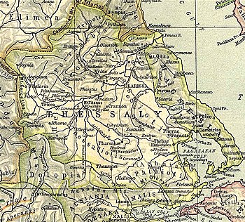
Ctimene (Thessaly)
39°03′59″N 21°59′01″E / 39.06646°N 21.98373°E

Ctimene or Ktimene (
Dolopes.[4]
Aetolians to occupy much of Thessaly, and these latter devastated the town called Cymene and its neighbour, Angeia.[5] William Smith treats the reference to Cymene as a probable corruption of Ctimene.[2] Stephanus of Byzantium mentions a tradition that Ctimene had been given by Peleus to Phoenix.[6] The editors of the Barrington Atlas of the Greek and Roman World identify the site of Ctimene with the modern village of Rentina,[7] which is tentative accepted by others.[8]
References
- ISBN 0-19-814099-1.
- ^ a b
 Smith, William, ed. (1854–1857). "Ctimene". Dictionary of Greek and Roman Geography. London: John Murray.
- ^ Apollonius of Rhodes. Argonautica. Vol. 1.67.
- ^ Apollonius of Rhodes. Argonautica. Vol. 1.68.
- Ab urbe condita Libri[History of Rome]. Vol. 32.13.
- ^ Stephanus of Byzantium. Ethnica. Vol. s.v. Κτιμένη.
- ISBN 978-0-691-03169-9.
- ^ Lund University. Digital Atlas of the Roman Empire.
