
File:Map of Oklahoma highlighting Okfuskee County.svg

Size of this PNG preview of this SVG file: 800 × 397 pixels. Other resolutions: 320 × 159 pixels | 640 × 317 pixels | 1,024 × 508 pixels | 1,280 × 635 pixels | 2,560 × 1,269 pixels | 7,730 × 3,832 pixels.
Original file (SVG file, nominally 7,730 × 3,832 pixels, file size: 57 KB)
| This is a file from the Wikimedia Commons. Information from its description page there is shown below. Commons is a freely licensed media file repository. You can help. |
Summary
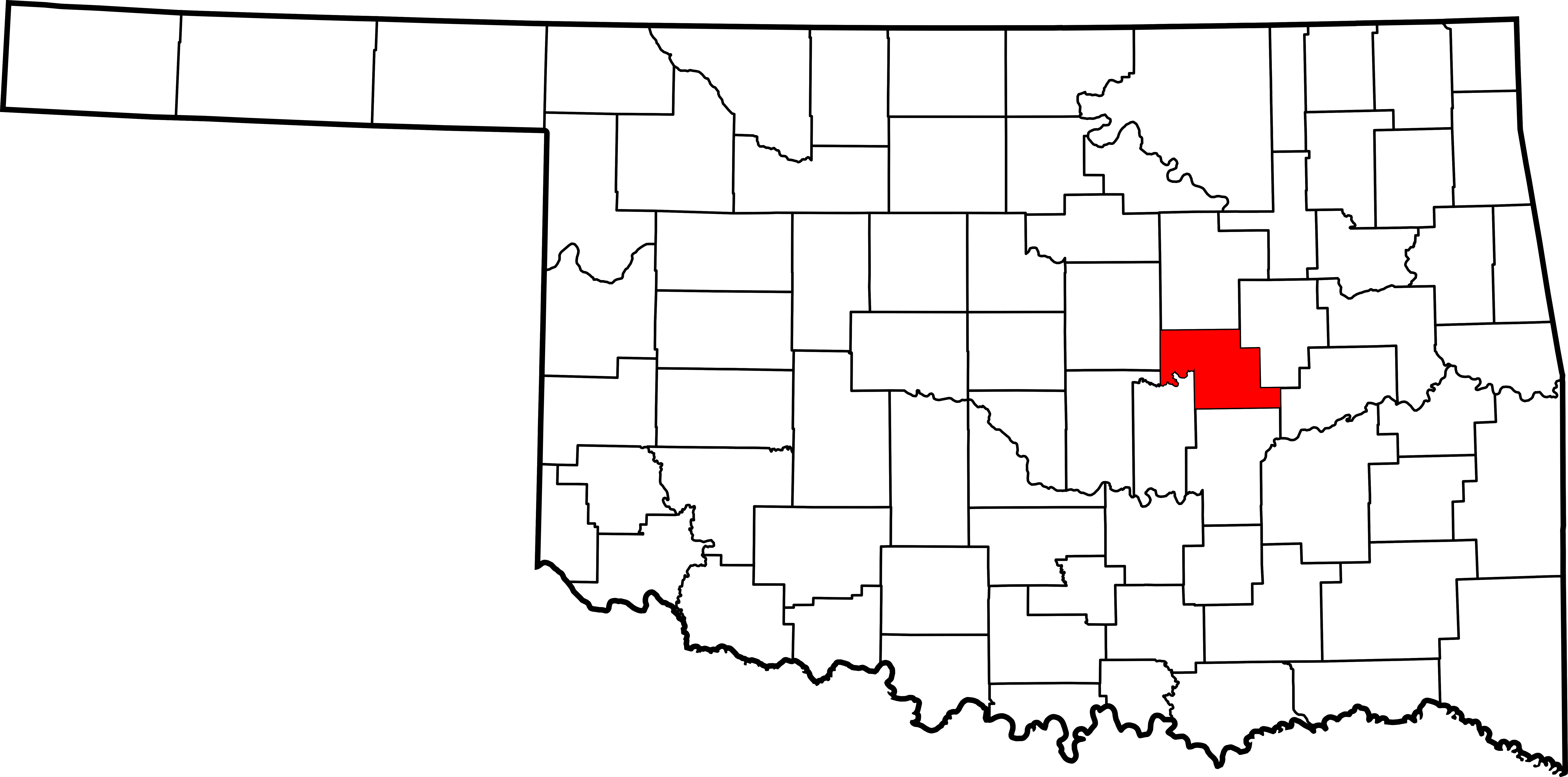
English: Locator map showing
Oklahoma
.- Credits
- David Benbennick made this map. For more information, see Commons:United States county locator maps.
| I, the copyright holder of this work, release this work into the public domain. This applies worldwide. In some countries this may not be legally possible; if so: I grant anyone the right to use this work for any purpose, without any conditions, unless such conditions are required by law. |
File history
Click on a date/time to view the file as it appeared at that time.
| Date/Time | Thumbnail | Dimensions | User | Comment | |
|---|---|---|---|---|---|
| current | 16:14, 12 February 2006 | | 7,730 × 3,832 (57 KB) | David Benbennick | {{subst:User:Dbenbenn/clm|county=Okfuskee County|state=Oklahoma|type=county}} |
File usage
The following pages on the English Wikipedia use this file (pages on other projects are not listed):
- Bearden, Oklahoma
- Boley, Oklahoma
- Bookertee, Oklahoma
- Burke City, Oklahoma
- Castle, Oklahoma
- Clearview, Oklahoma
- IXL, Oklahoma
- List of counties in Oklahoma
- Mason, Oklahoma
- Muscogee Nation
- National Register of Historic Places listings in Okfuskee County, Oklahoma
- Okemah, Oklahoma
- Okfuskee County, Oklahoma
- Paden, Oklahoma
- Pharoah, Oklahoma
- Sunrise, Okfuskee County, Oklahoma
- Weleetka, Oklahoma
- Welty, Oklahoma
- User:Nyttend/County templates/OK
- Template:Okfuskee County, Oklahoma
- Category:Populated places in Okfuskee County, Oklahoma
Global file usage
The following other wikis use this file:
- Usage on ar.wikipedia.org
- Usage on bg.wikipedia.org
- Usage on bpy.wikipedia.org
- Usage on ca.wikipedia.org
- Usage on cdo.wikipedia.org
- Usage on ceb.wikipedia.org
- Usage on cy.wikipedia.org
- Usage on de.wikipedia.org
- Usage on es.wikipedia.org
- Usage on eu.wikipedia.org
- Usage on fa.wikipedia.org
- Usage on fa.wikivoyage.org
- Usage on frr.wikipedia.org
- Usage on fr.wikipedia.org
View more global usage of this file.