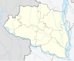
Joypurhat
Joypurhat | |
|---|---|
| Coordinates: 25°06′00″N 89°01′26″E / 25.10°N 89.024°E | |
| Country | |
| Division | Rajshahi |
| District | Joypurhat |
| Upazila | Joypurhat Sadar |
| Area | |
| • Total | 18.55 km2 (7.16 sq mi) |
| Population (2022) | |
| • Total | 84,910 |
| • Density | 4,600/km2 (12,000/sq mi) |
Joypurhat is a city in northwestern Bangladesh, near the border with India. It is the headquarters of Joypurhat District.
Demographics
According to the 2022 Bangladesh census, Joypurhat city had a population of 84,910 and a literacy rate of 86.04%.[2]: 388–394
According to the 2011 Bangladesh census, Joypurhat city had 16,843 households and a population of 69,033. 11,537 (16.71%) were under 10 years of age. Joypurhat had a literacy rate (age 7 and over) of 77.92%, compared to the national average of 51.8%, and a sex ratio of 957 females per 1000 males. The ethnic population was 1,204 (1.74%).[1]
References
- ^ a b "Population & Housing Census 2011 (Zila Series & Community Series)". bbs.gov.bd. Bangladesh Bureau of Statistics.
- ^ Population and Housing Census 2022 National Report (PDF). Vol. 1. Bangladesh Bureau of Statistics. November 2023.


